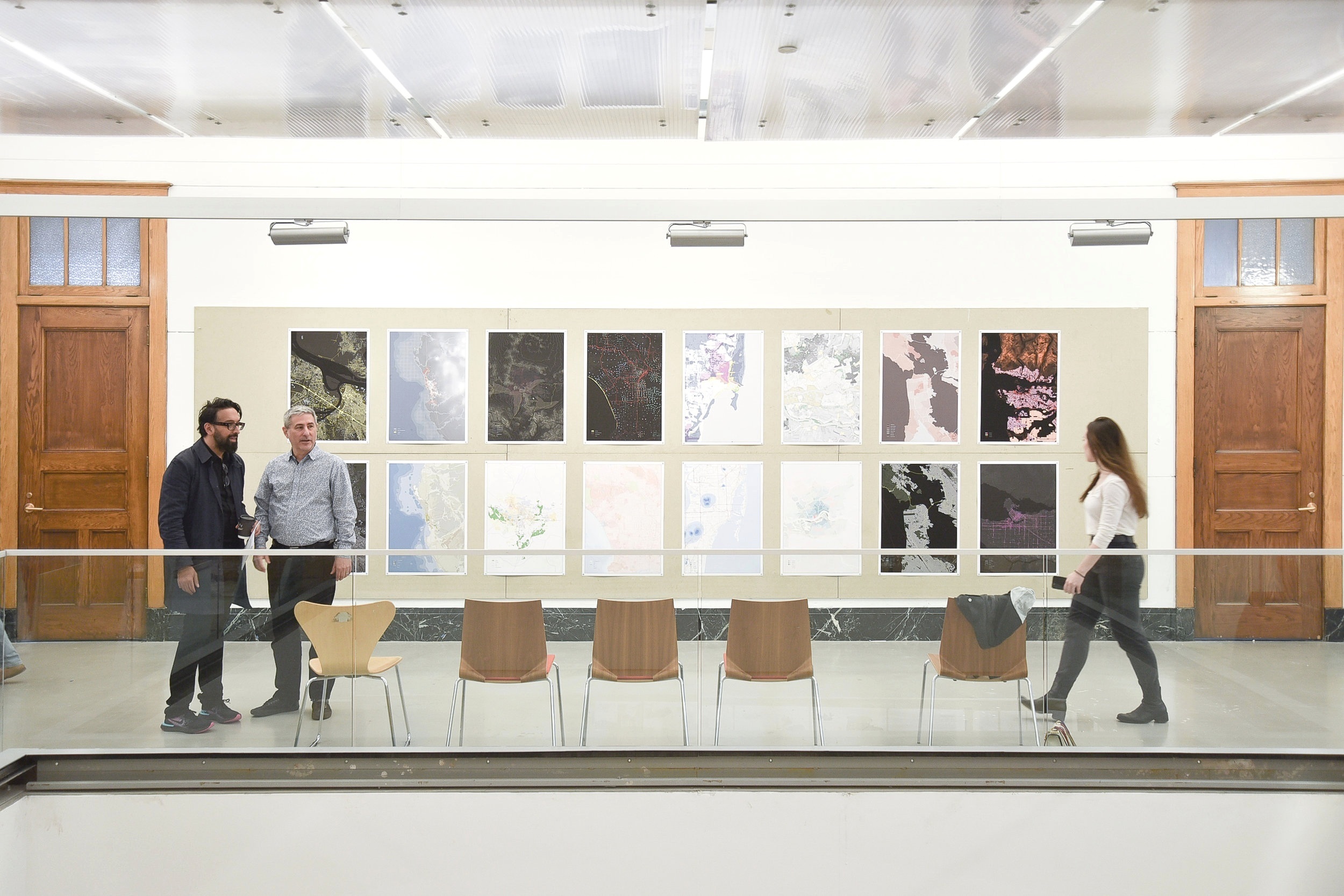
Comparative Urban Atlas Vol.2
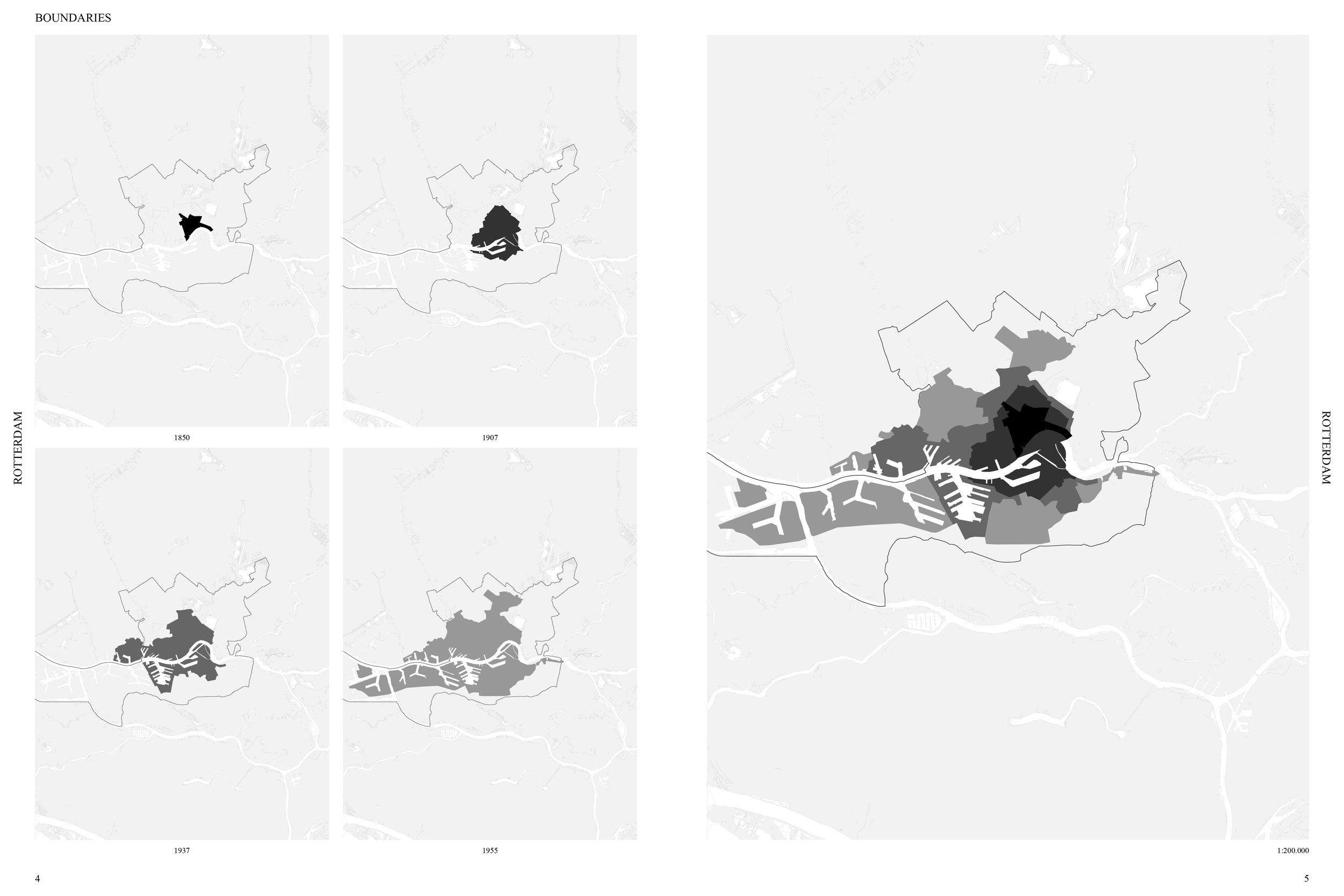
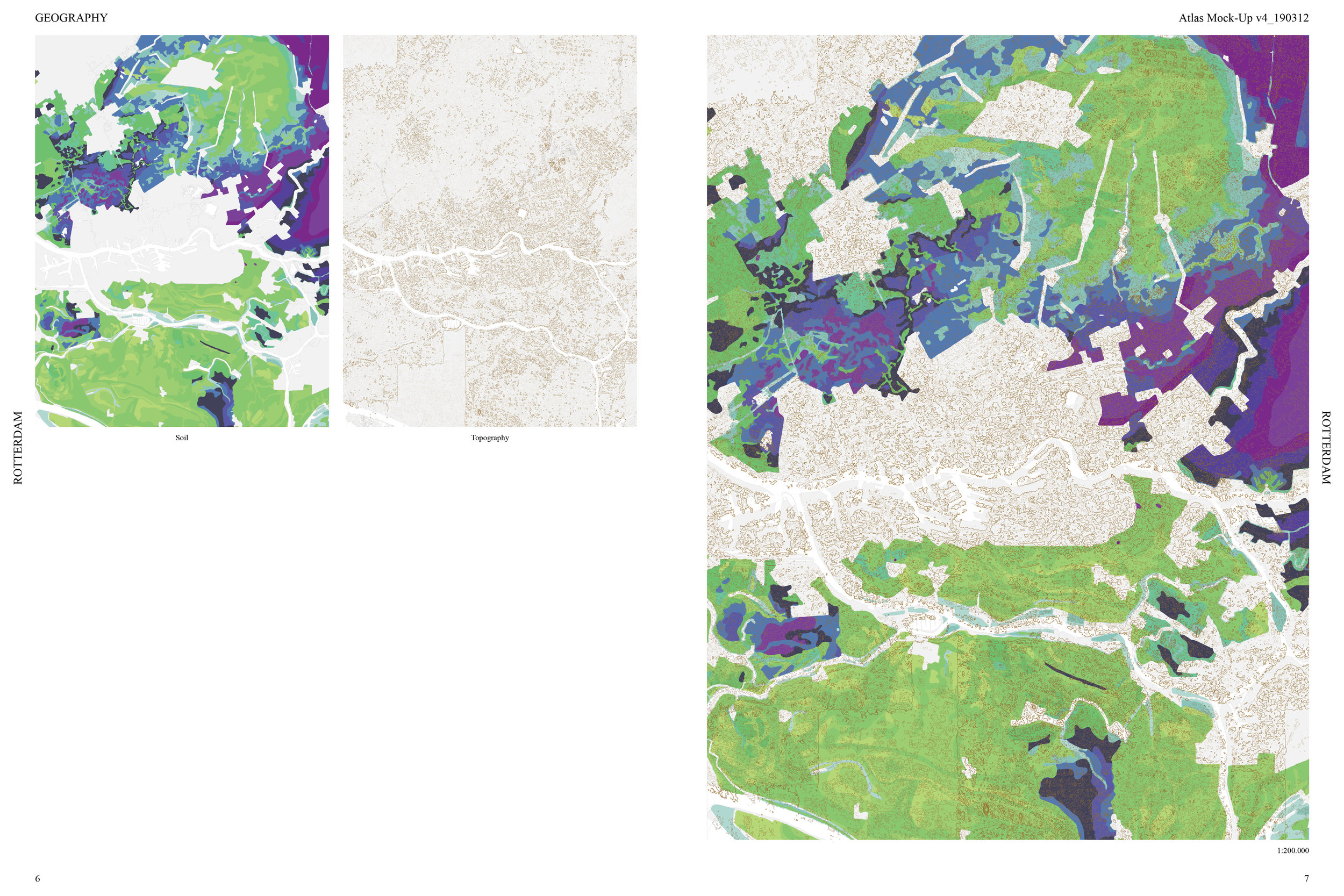
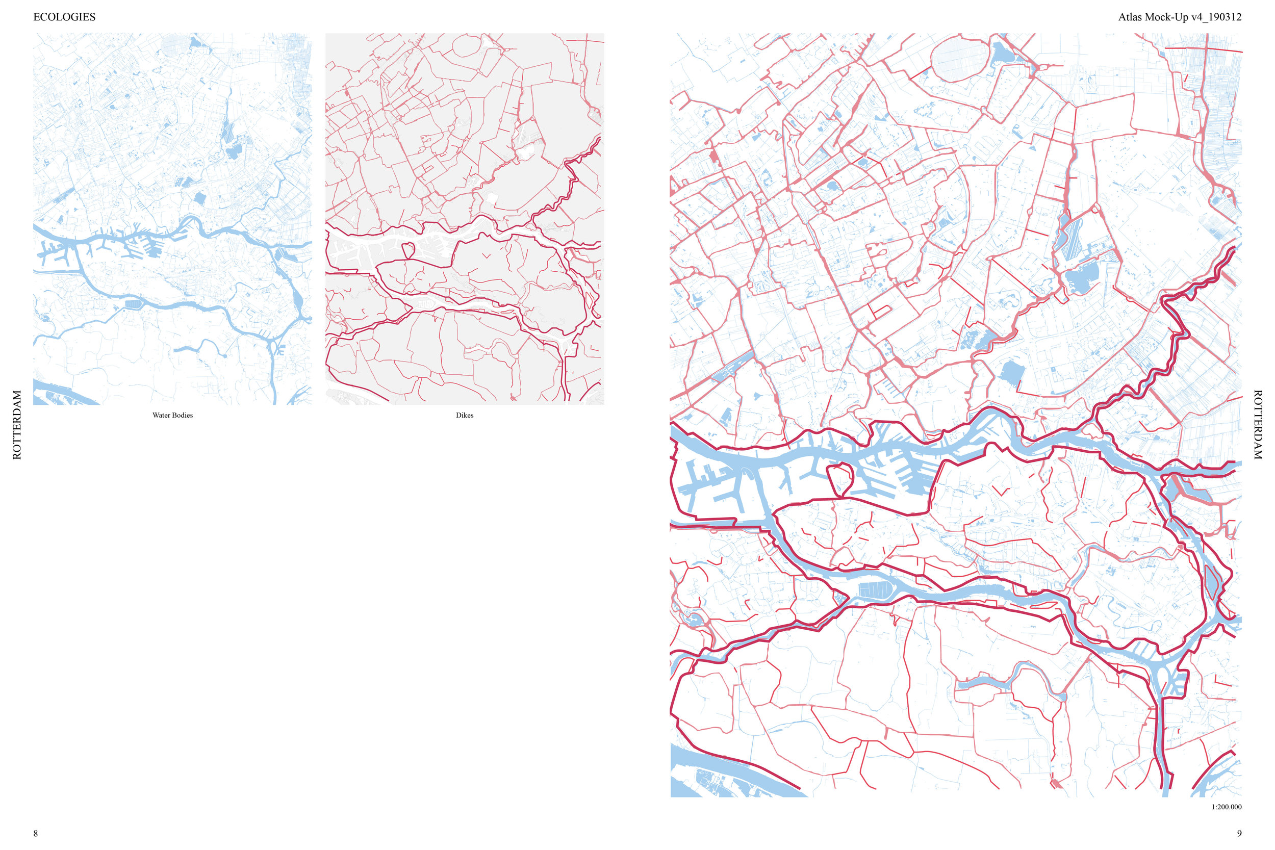
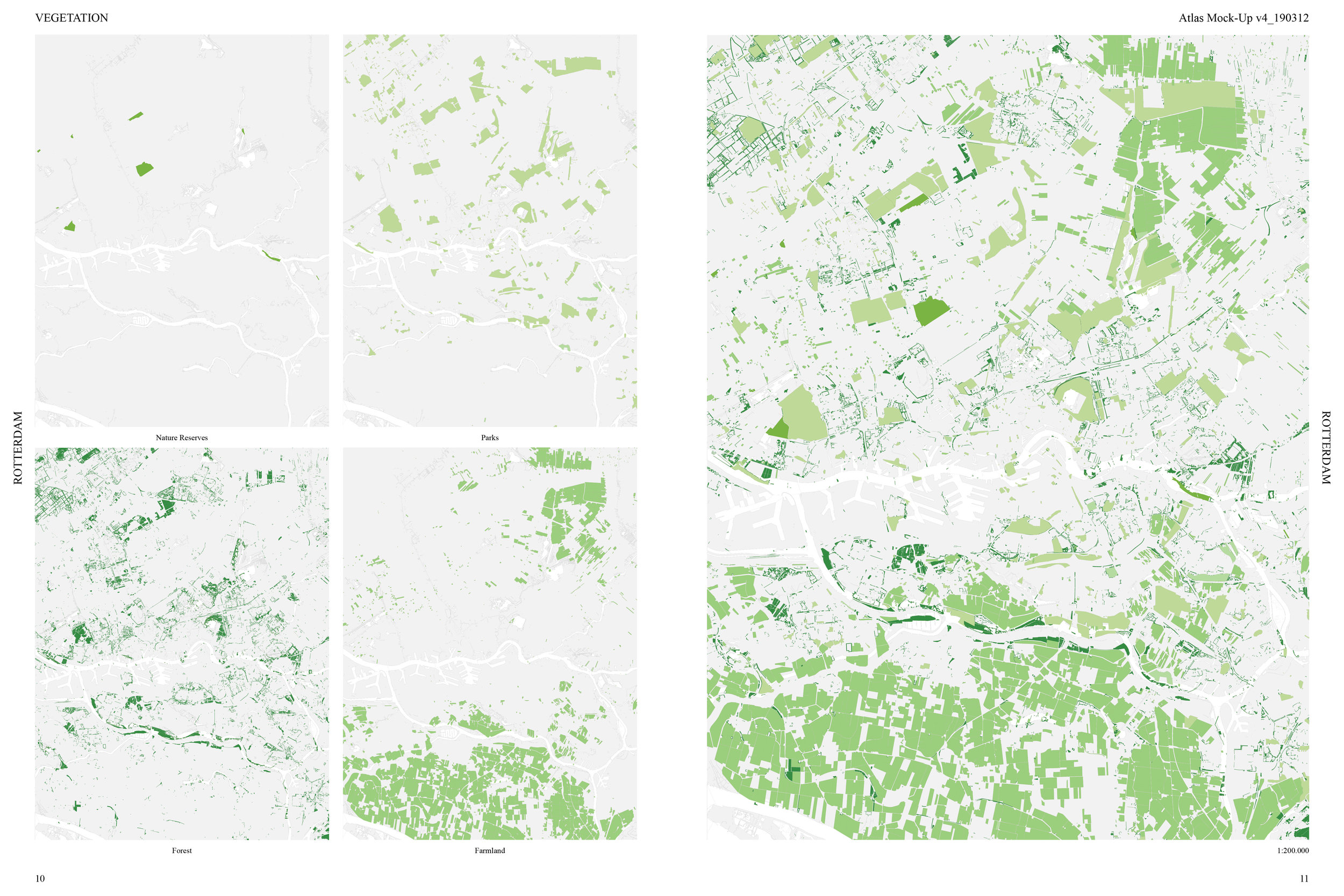
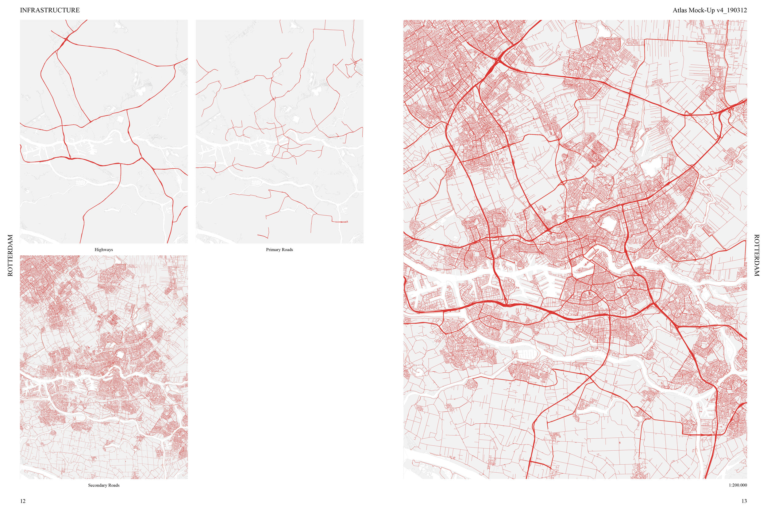
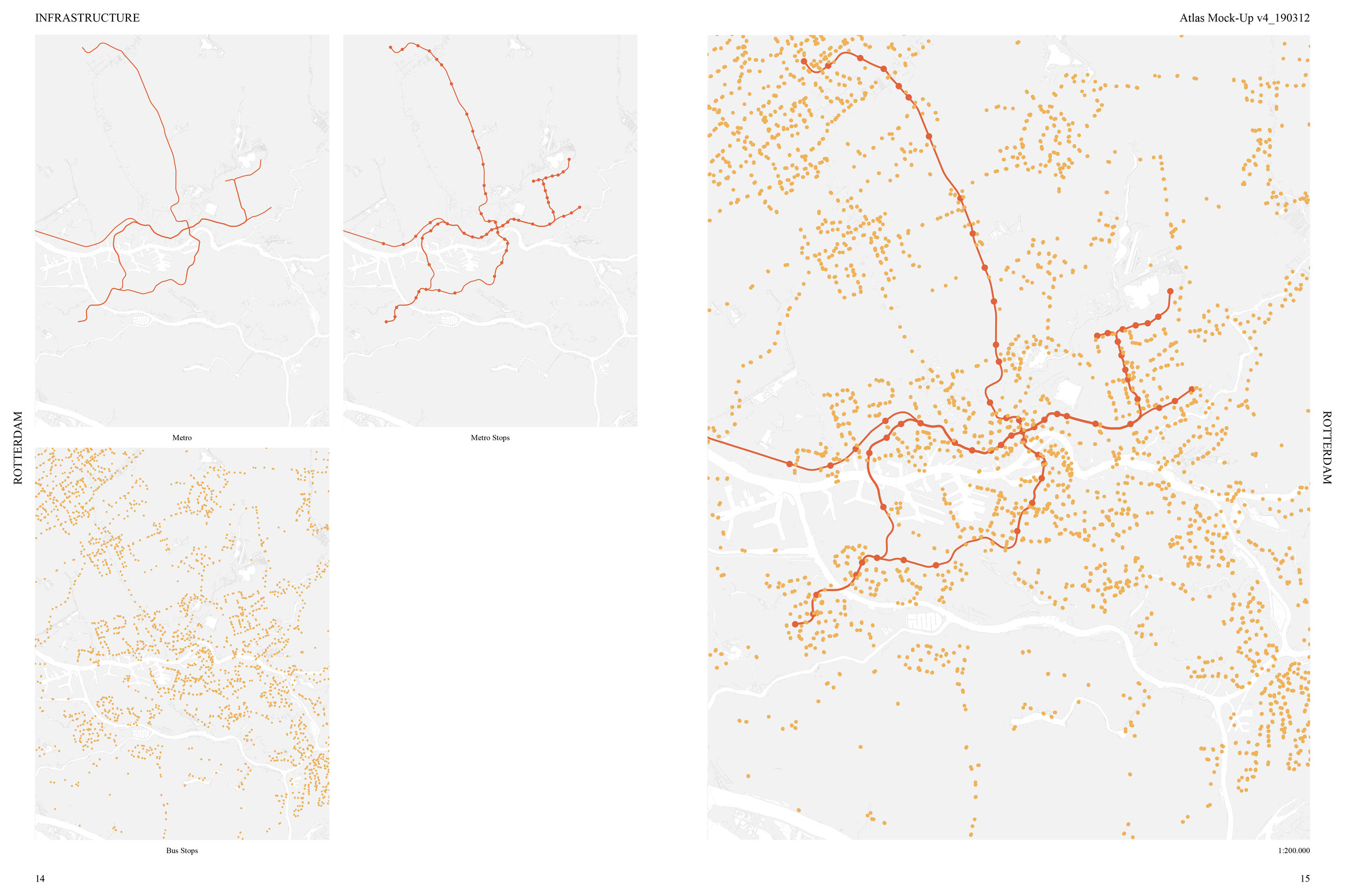
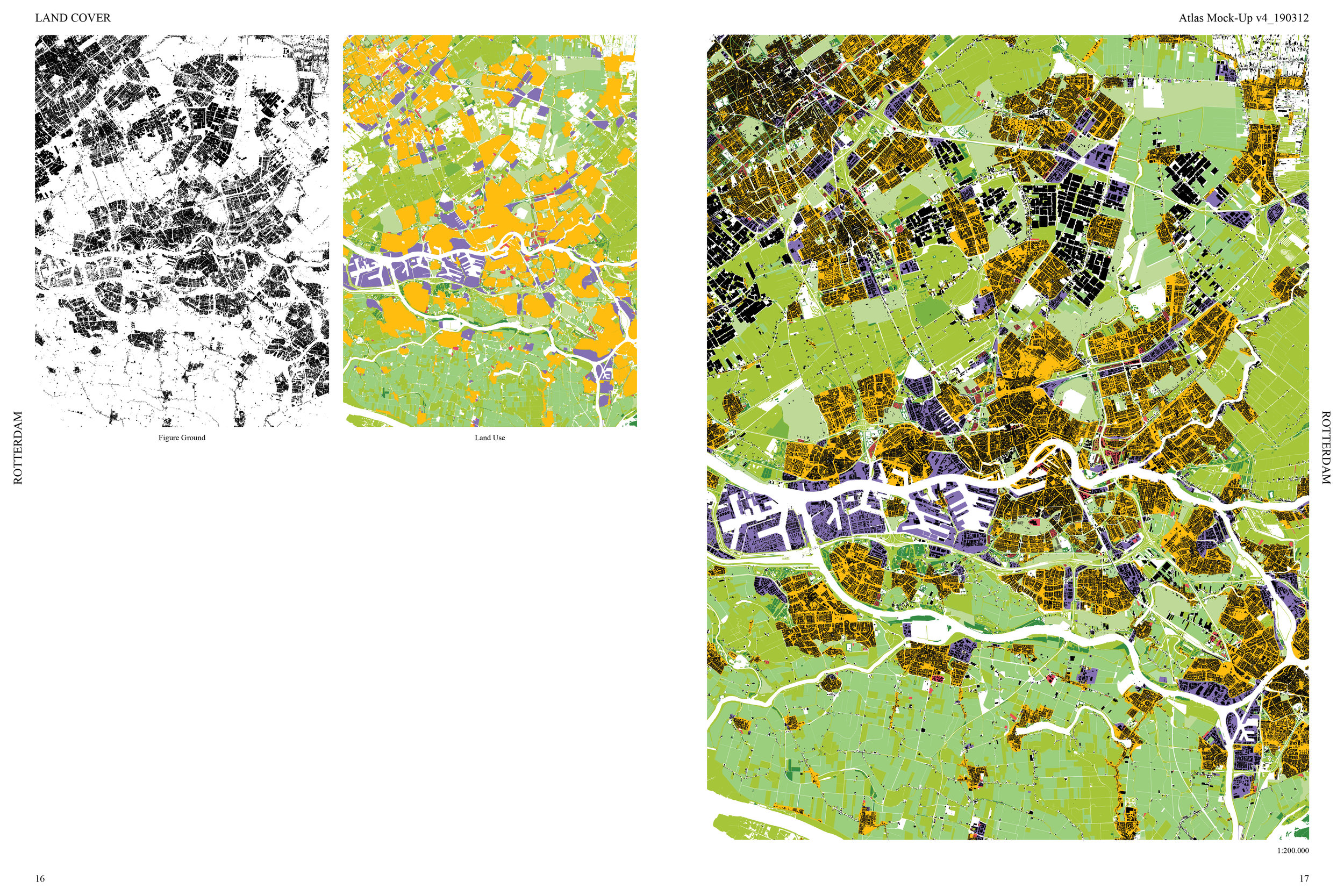
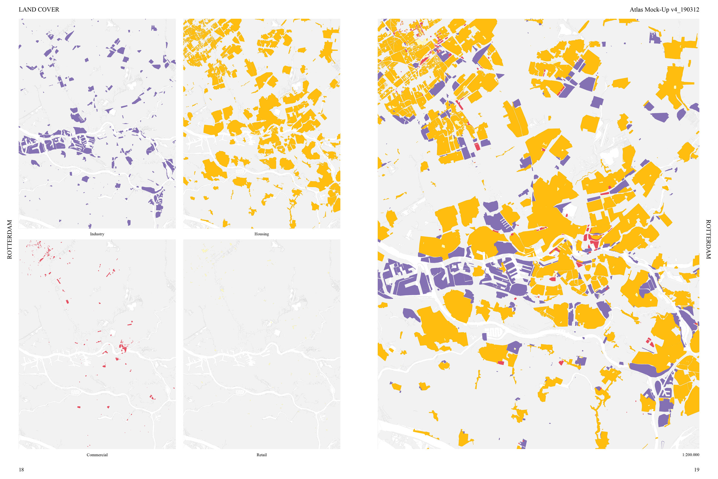


DESCRIPTION (Course Abstract)
Maps do not represent reality, they create it . As a fundamental part of the process, the act of mapping results in highly authored views of a territory. By choosing what features, forces, and flows to highlight—and implicitly, which to exclude—the cartographer first creates the reality into which their intervention will be situated and discussed . However, with the emergence of digital technologies such as Google Maps, GIS, and hand-held devices, we have begun to cease the modes of production from the elite institutions that have controlled the making of maps and cartographic knowledge for the last two centuries. Everyone now has the ability to make a map, not simply a 2-D orthographic projection, but real-time 3-D interactive maps which expose and debunk the ‘certainty’ of centuries of maps and map makers. The combination of open source information and digital applications has given each of us the tools to make maps, which could allow us to challenge the ‘purity’ and ‘rationality’ of academic cartography and architectural mapping. But just the opposite has happened, the map still has a credibility and perceived certainty, so not only can States and Institutions make such knowledge claims, but so can private businesses and special interest groups. It is now essential that each of us begin to develop both the intellectual and technical abilities of map making as a means to question the dominant ideological networks, as well as evolving our understanding of the built environment, one that is more holistic, intuitive, and less ocularcentric. We must liberate ourselves from a Cartesian understanding of space and develop the techniques to investigate our material contours in a way that will enable us as architect to reconceive and question the very nature of how we illustrate and design our built environment.
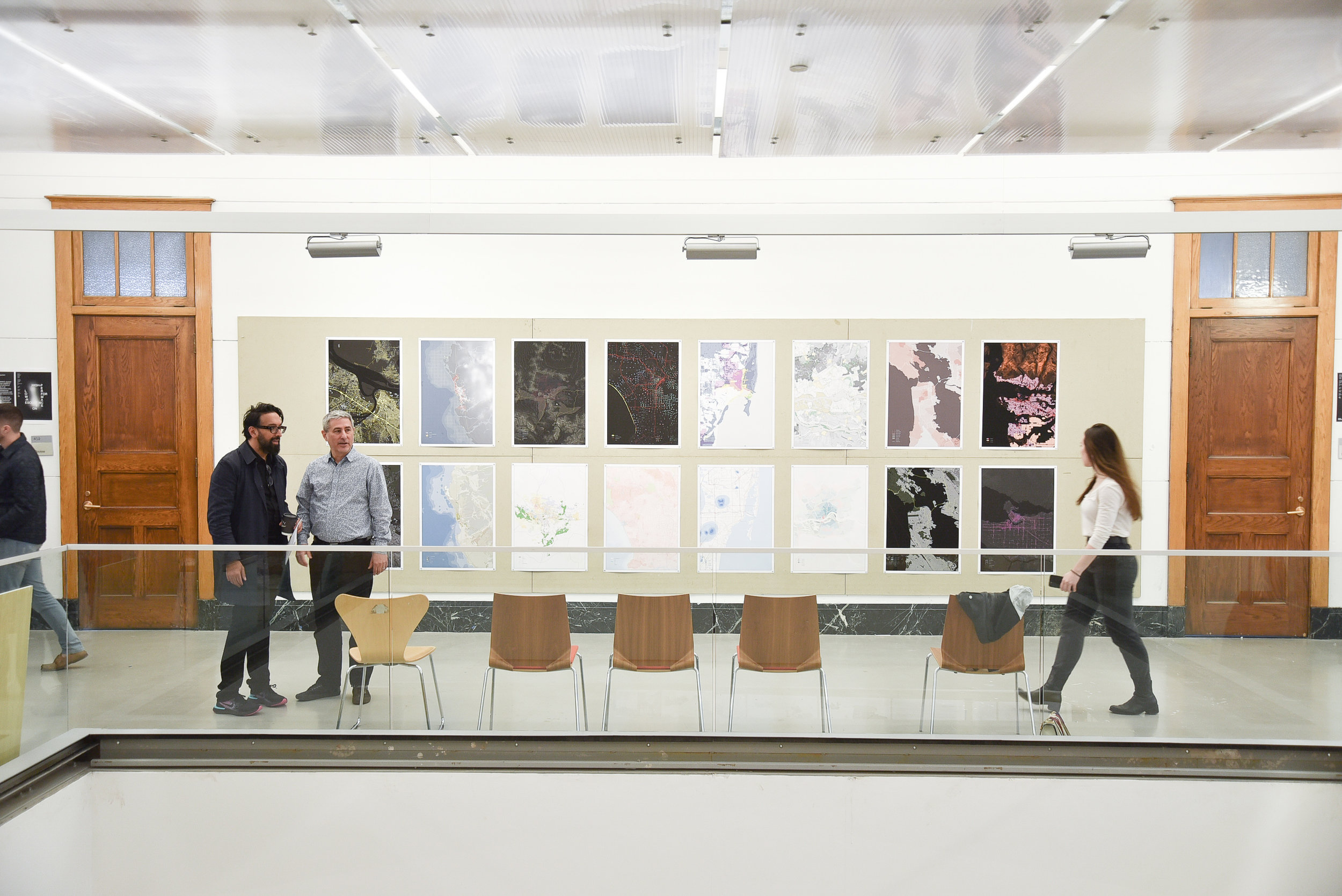
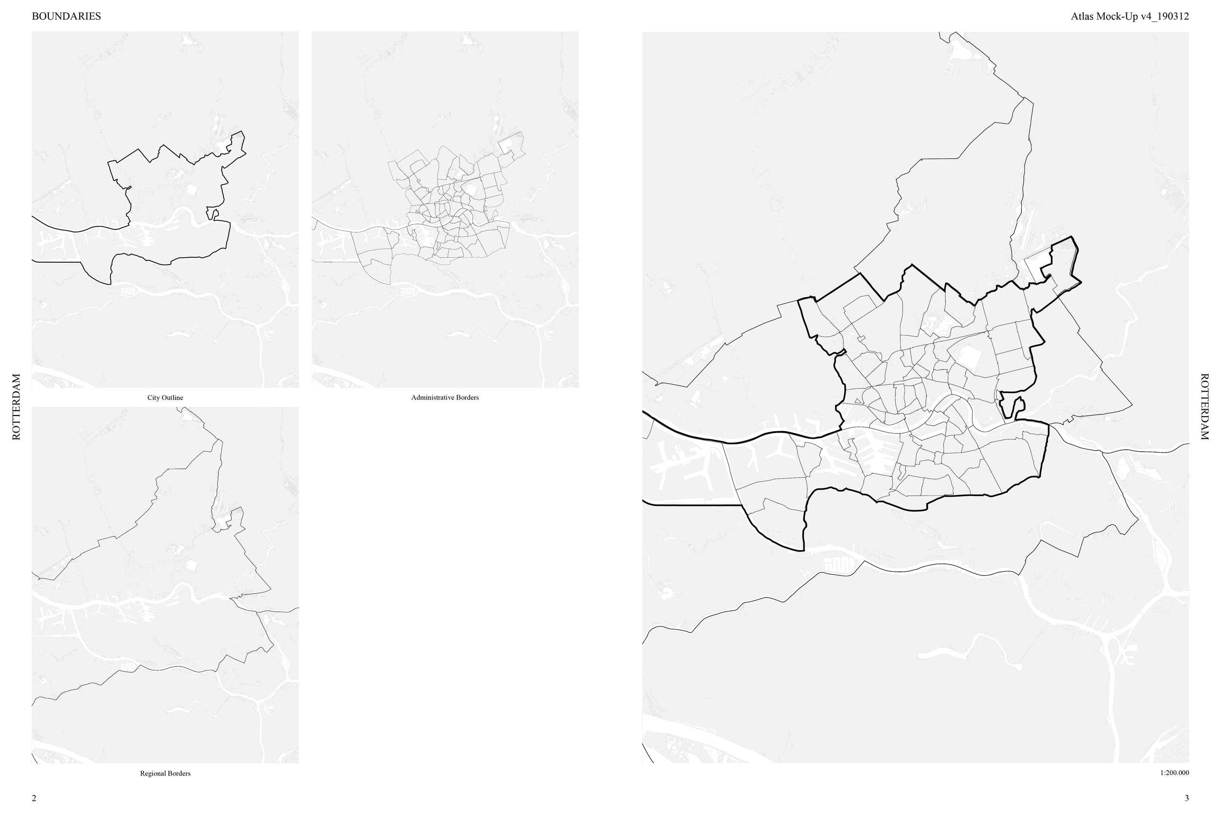
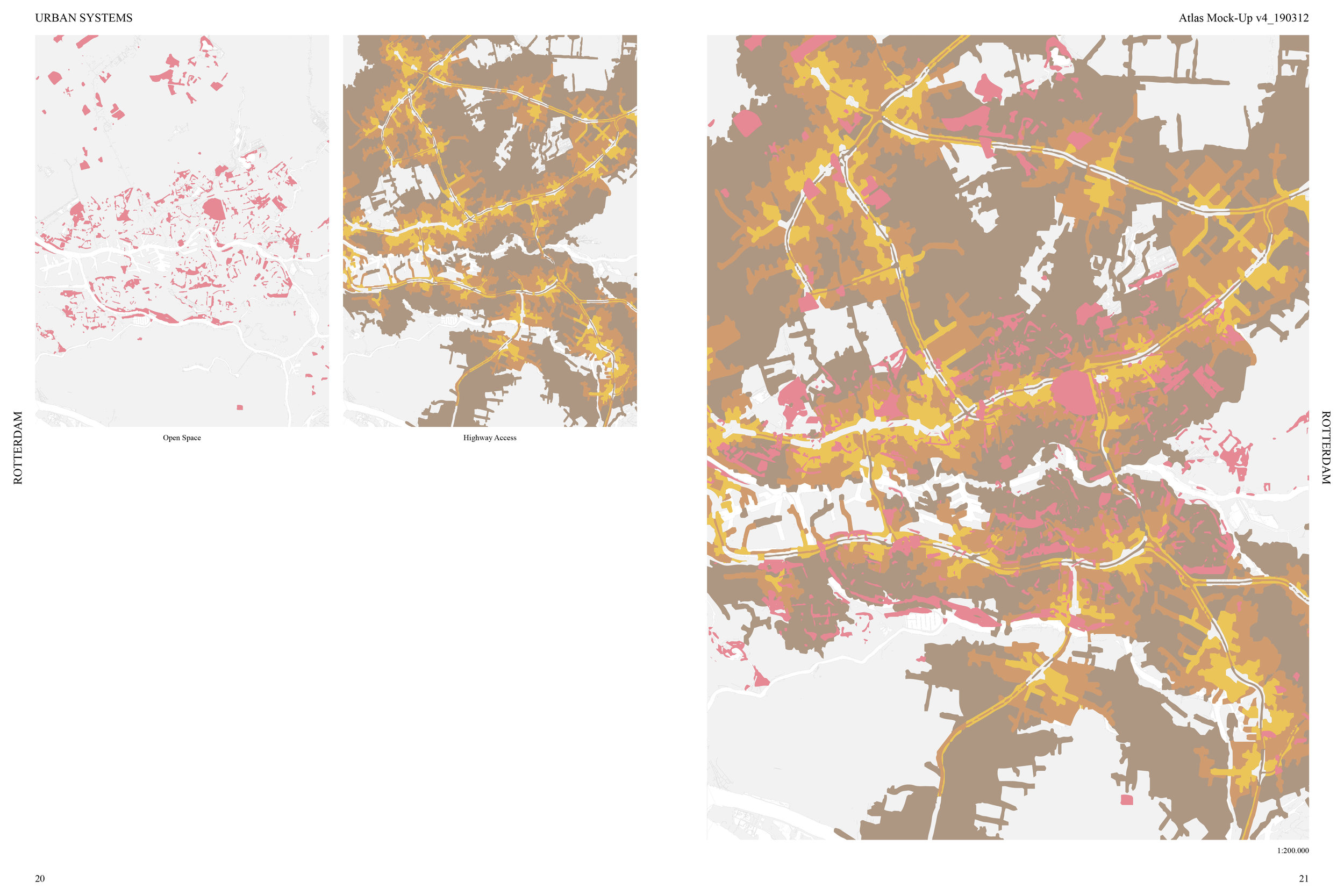
Employing forensics, analysis, and physical documentation, we developed a methodology to separate and examine the elements which define the layers of multiple conditions. We simultaneously unpacked the physical conditions of a defined site, and through selected readings, examined the dominant ideologies that have created both its hard & soft contours. We catalogued and documented the varying investigations into new methods of architectural illustration and mapping. The collective work of the course was then organized into a single document: Comparative Urban Atlas vol. 2.
SCOPE
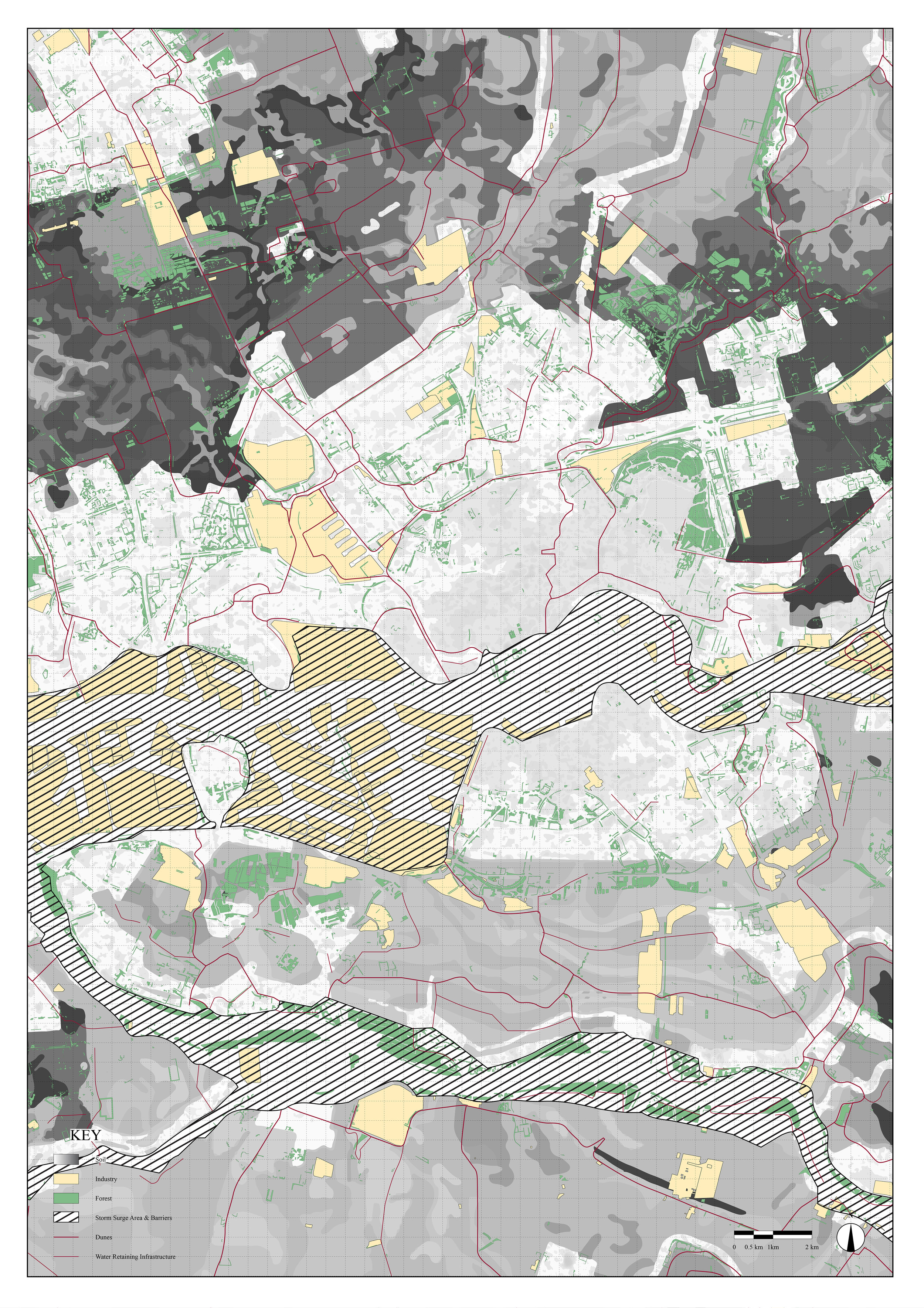
Mapping Analysis & Production - Unpacking Territory
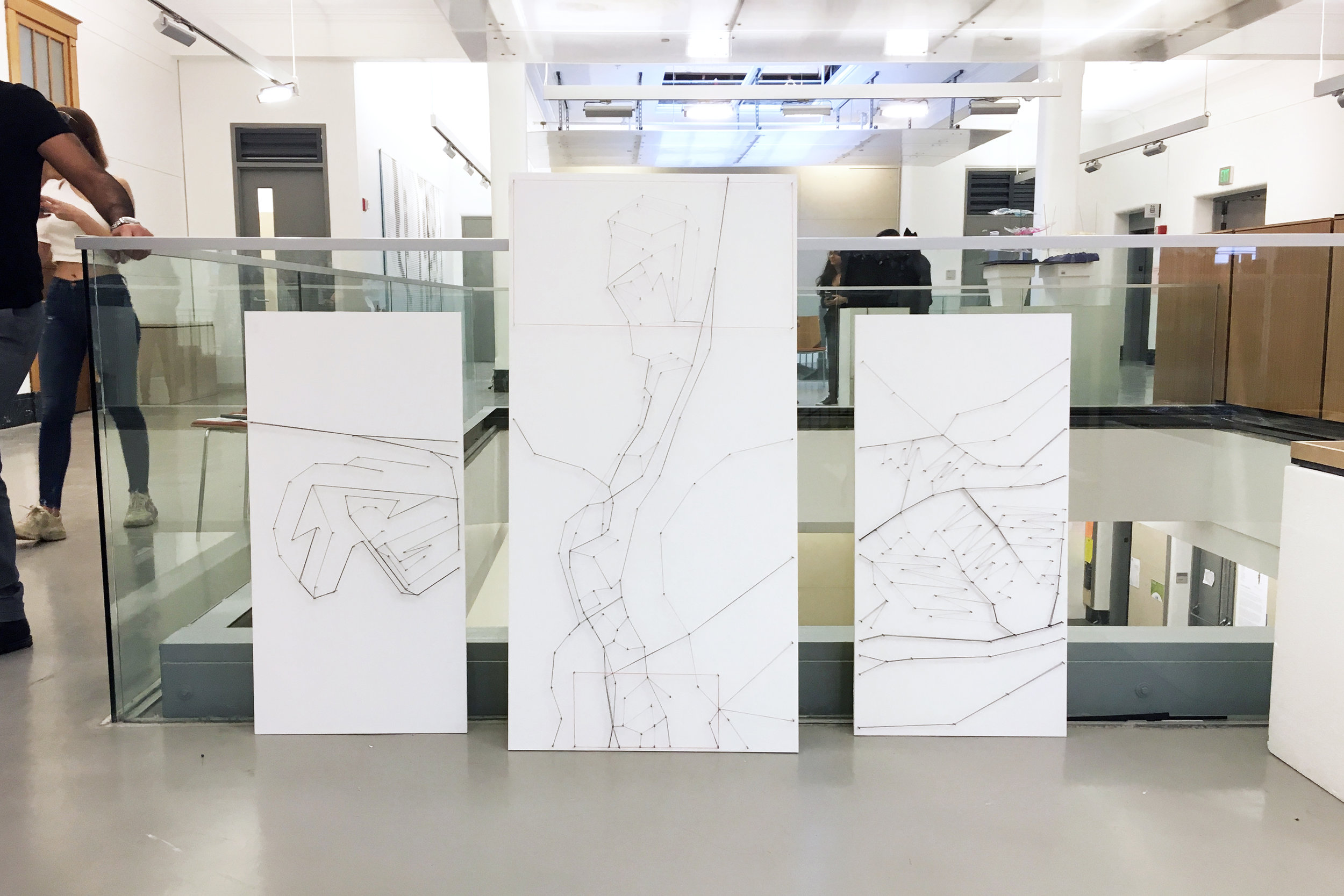
Intuitive Mapping
Experimental Non-Cartographic Modeling
LOCATION
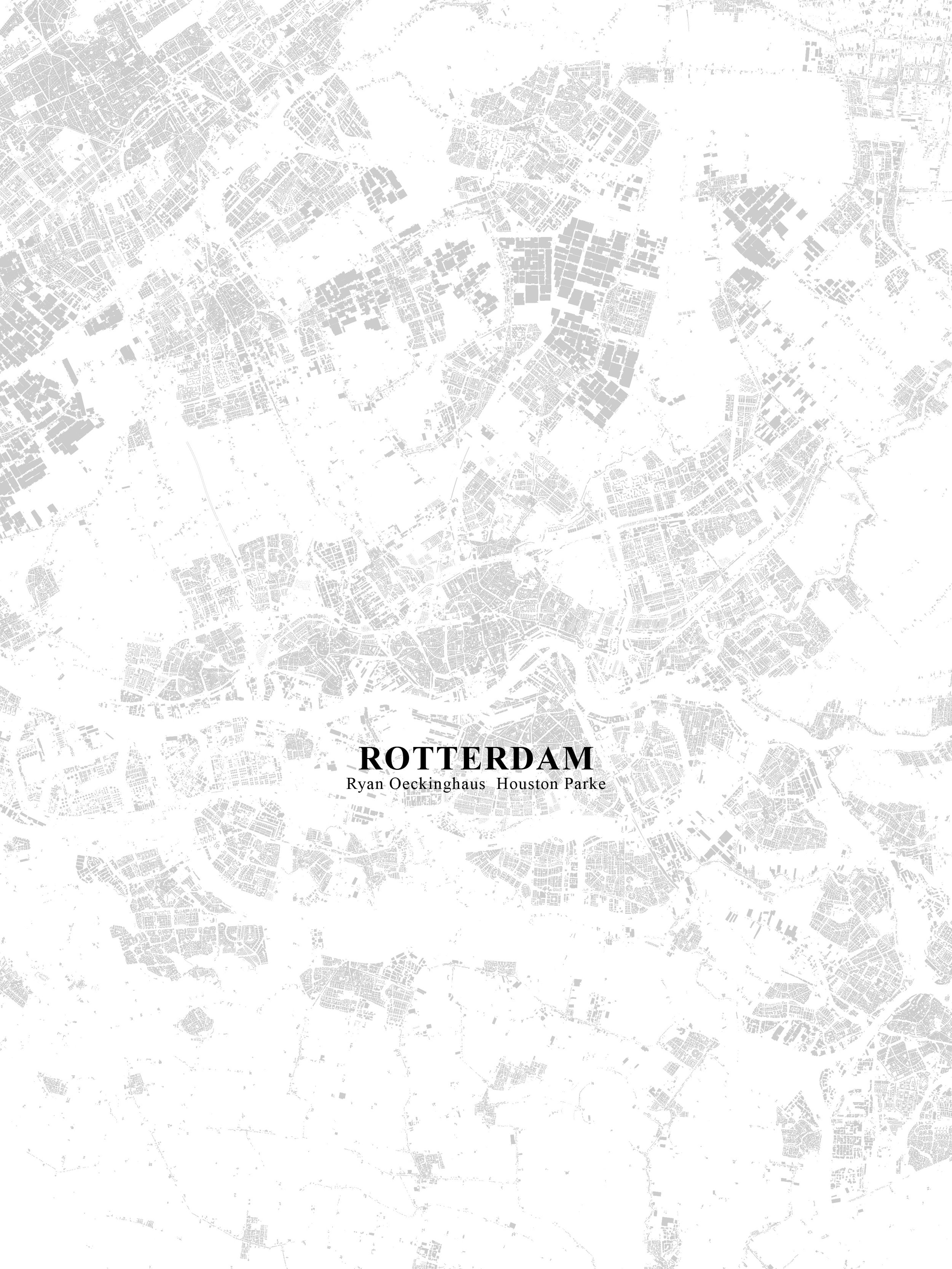
Rotterdam
INSTRUCTOR
Mitesh Dixit
This work was done as a part of the course Material Contours: Introduction to Critical Cartography. The full publication produced can be seen here:
https://issuu.com/materialcontours/docs/cua_vol2
Additionally, the Intuitive Mapping produced for the course can be viewed here:
https://issuu.com/materialcontours/docs/intuitive_mapping_vol2
