THESSALONIKI - MAPPING
SITE STUDIES
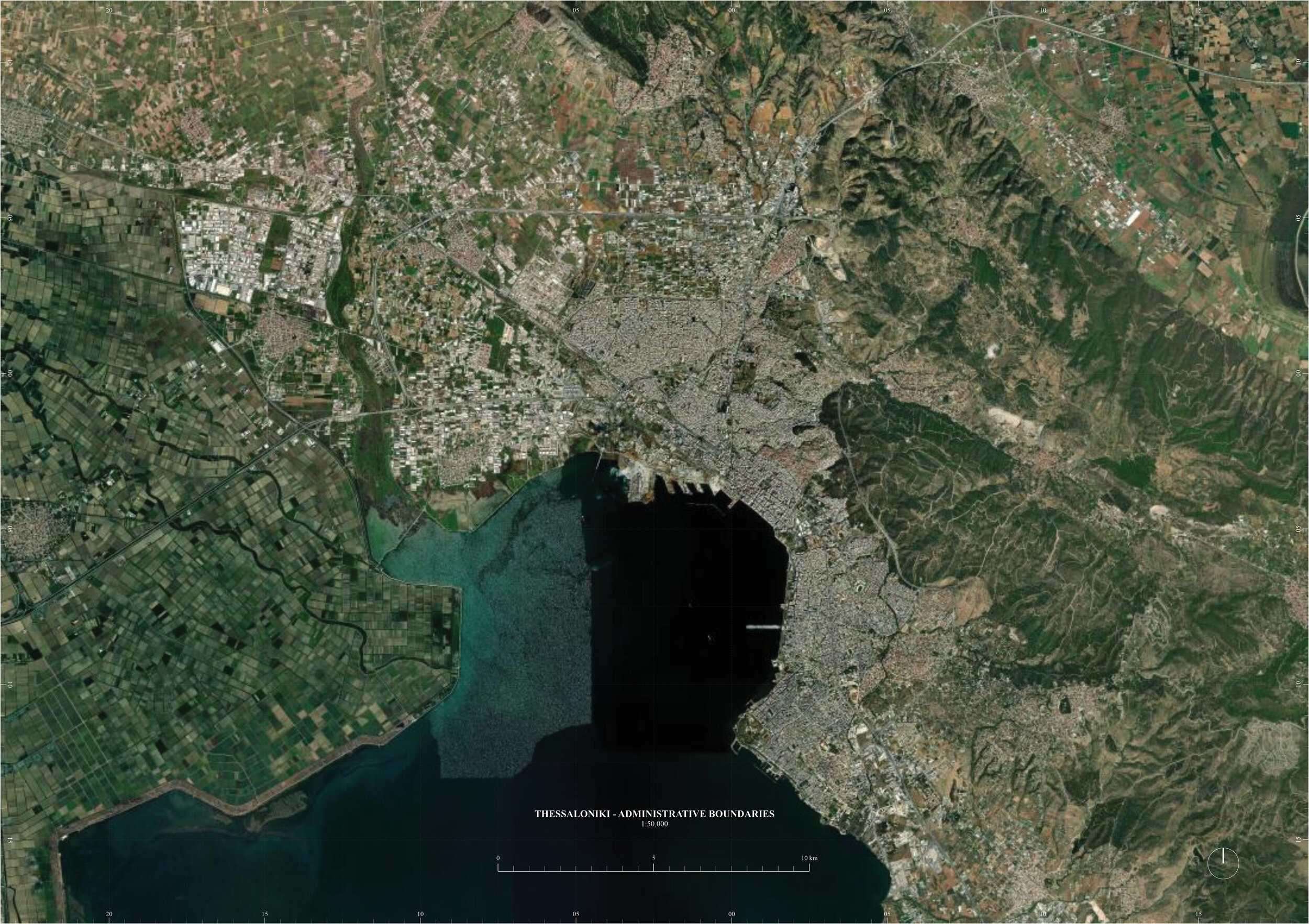
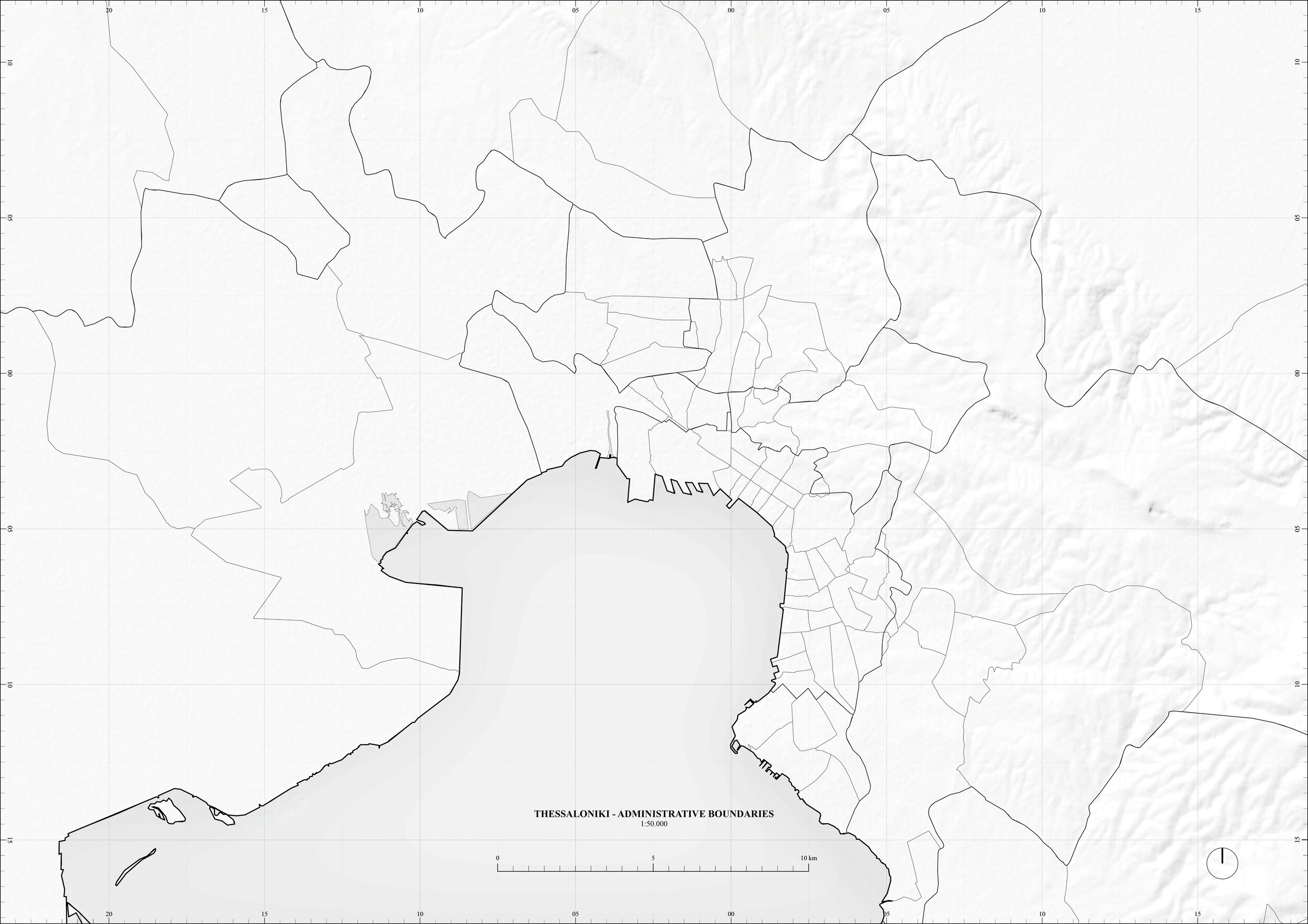
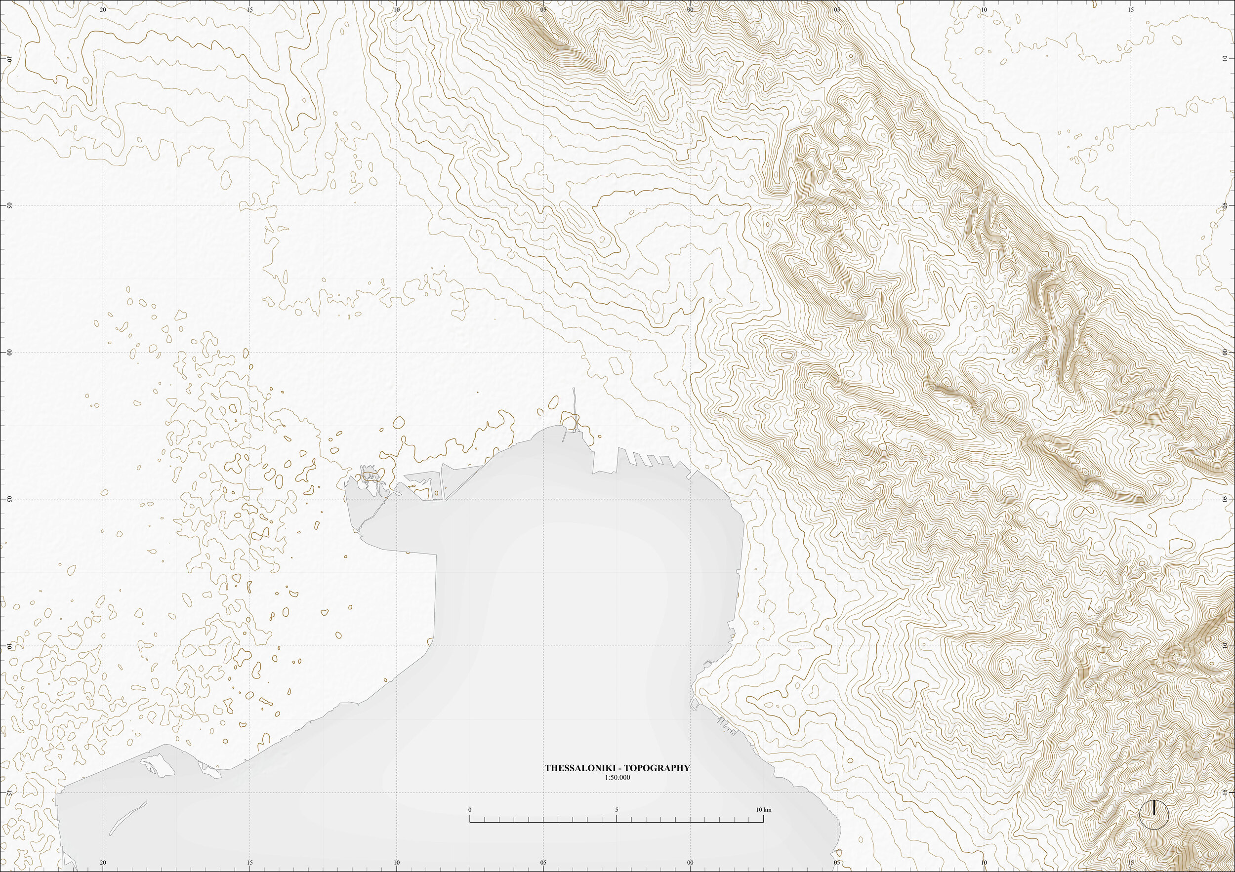
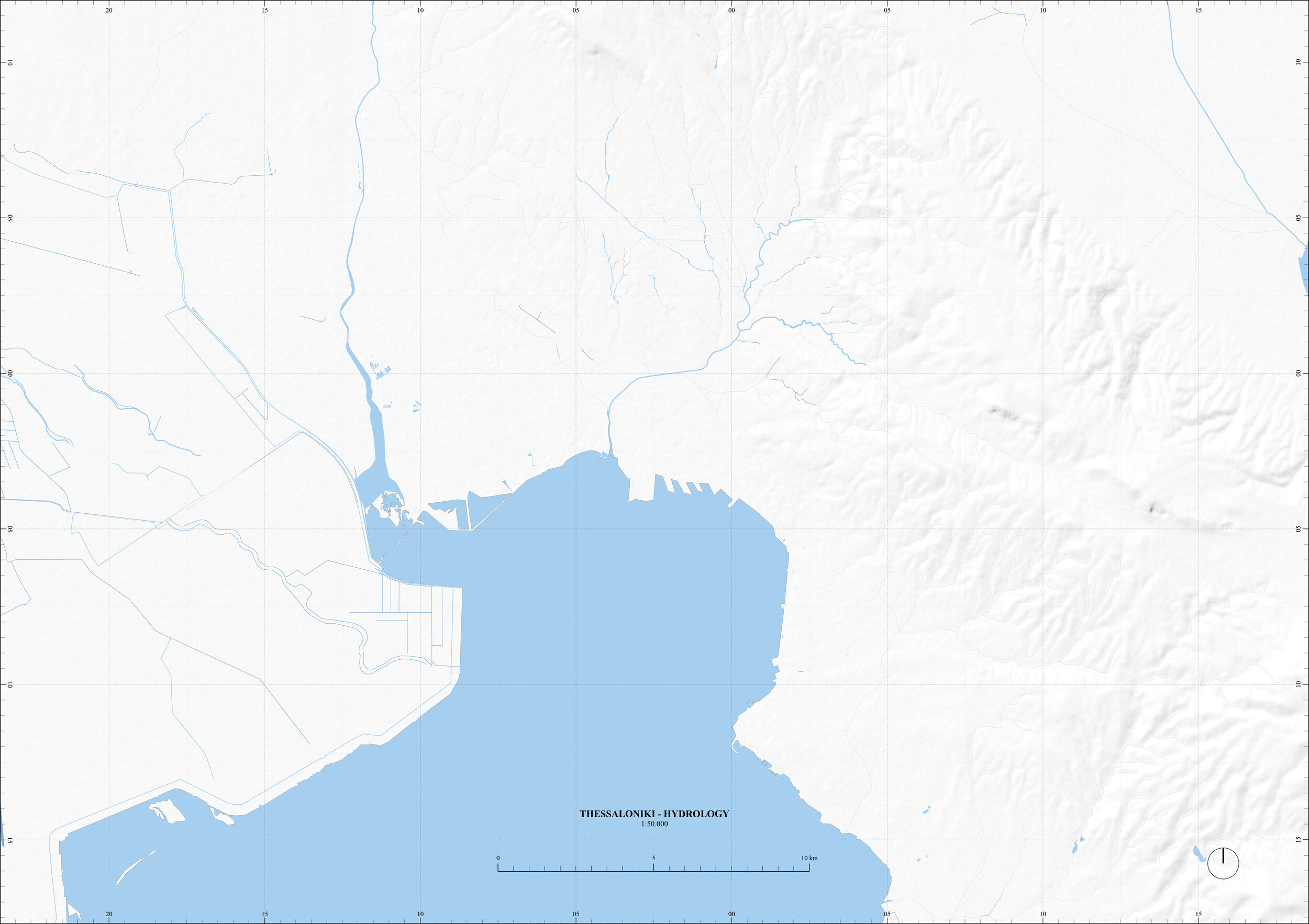
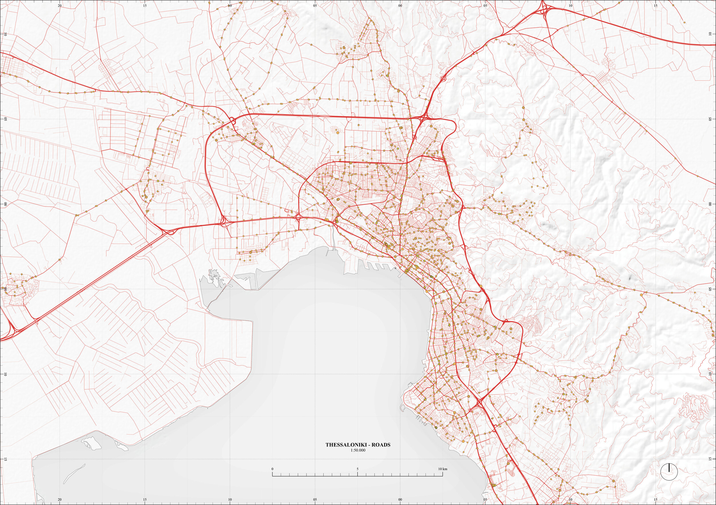
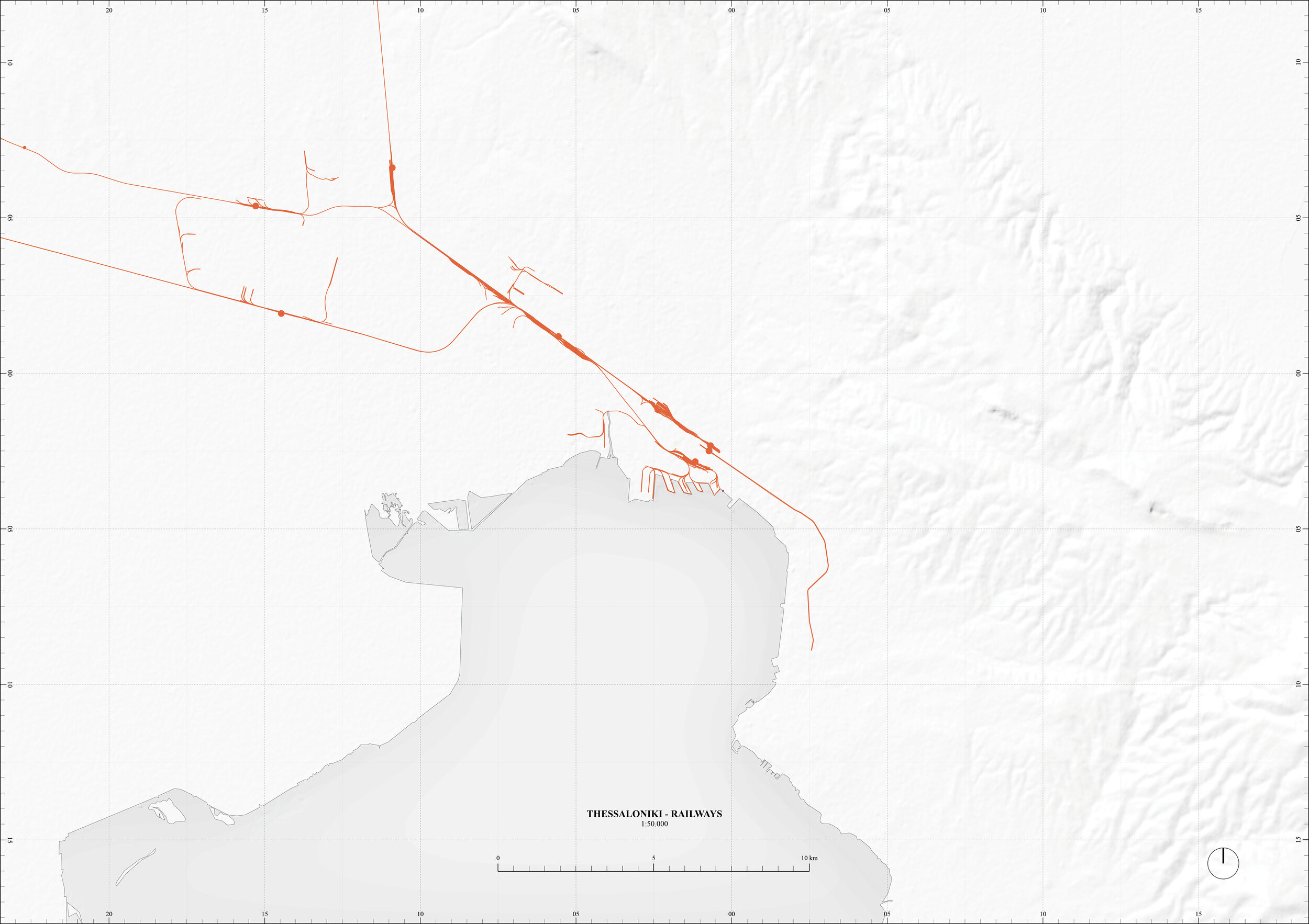
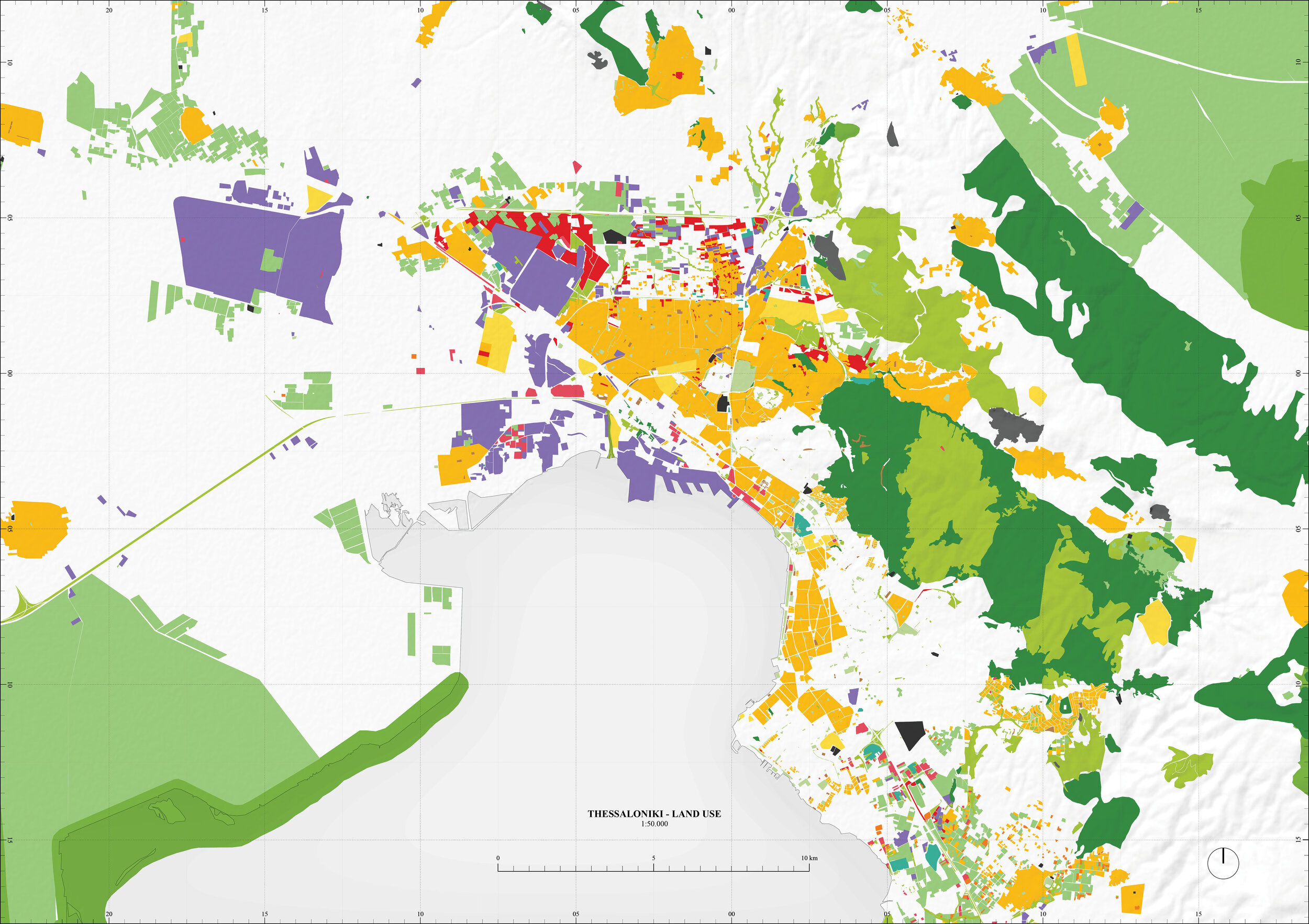
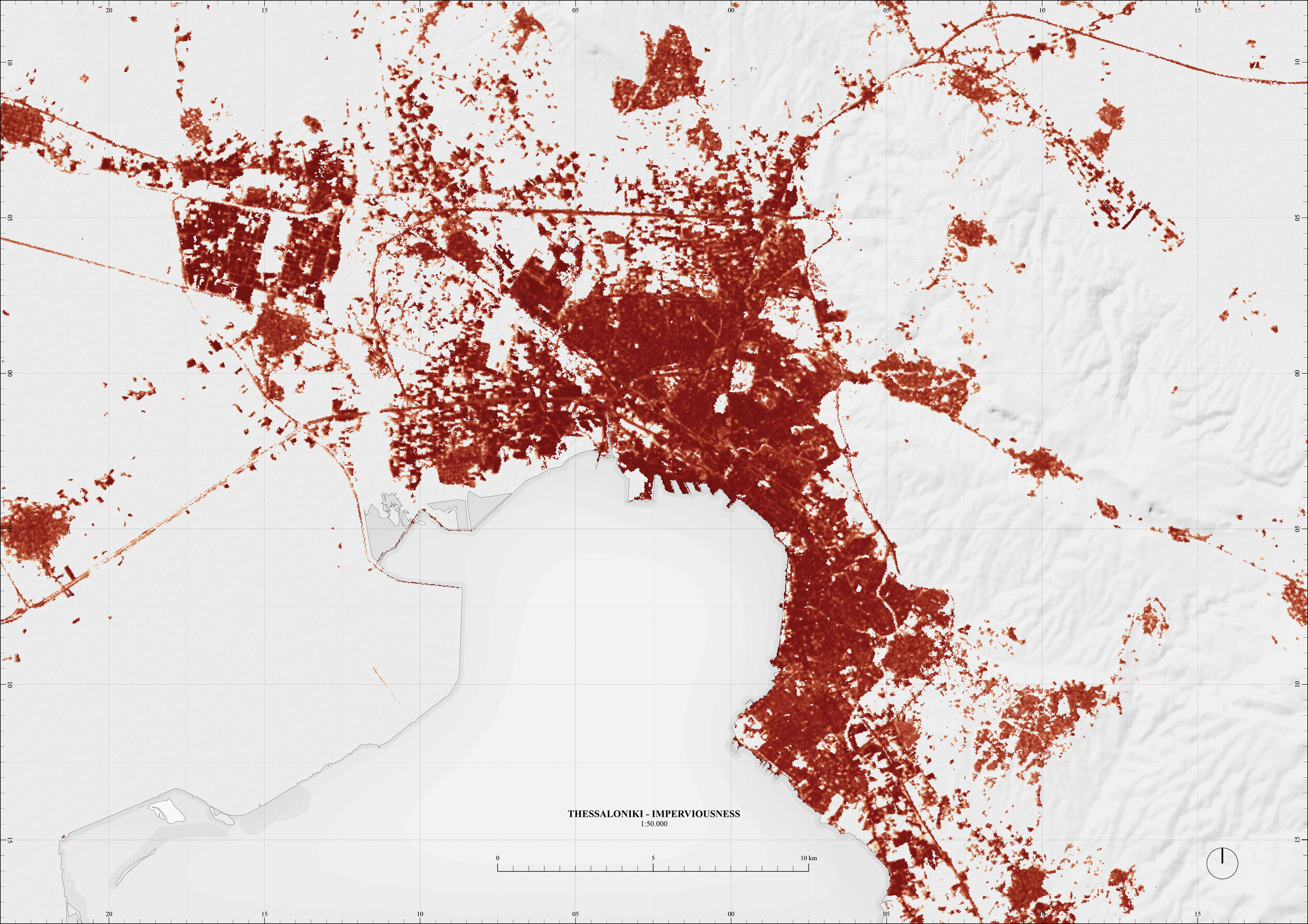
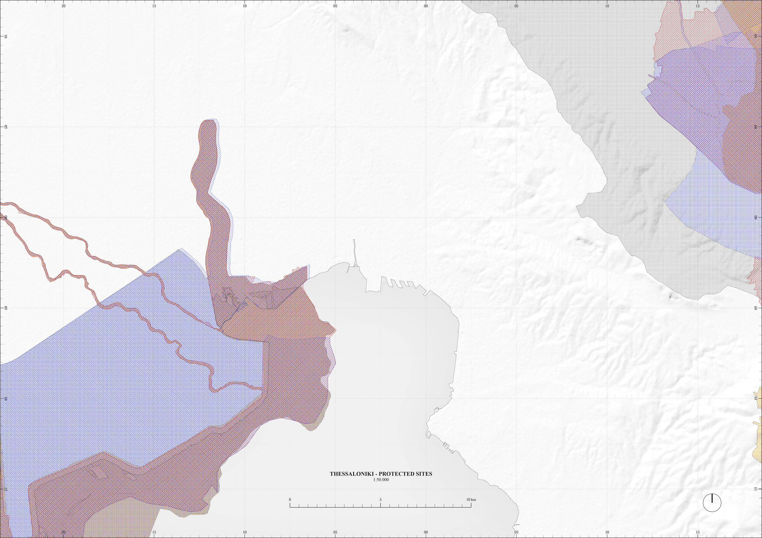
A0 Trim - 1:50.000
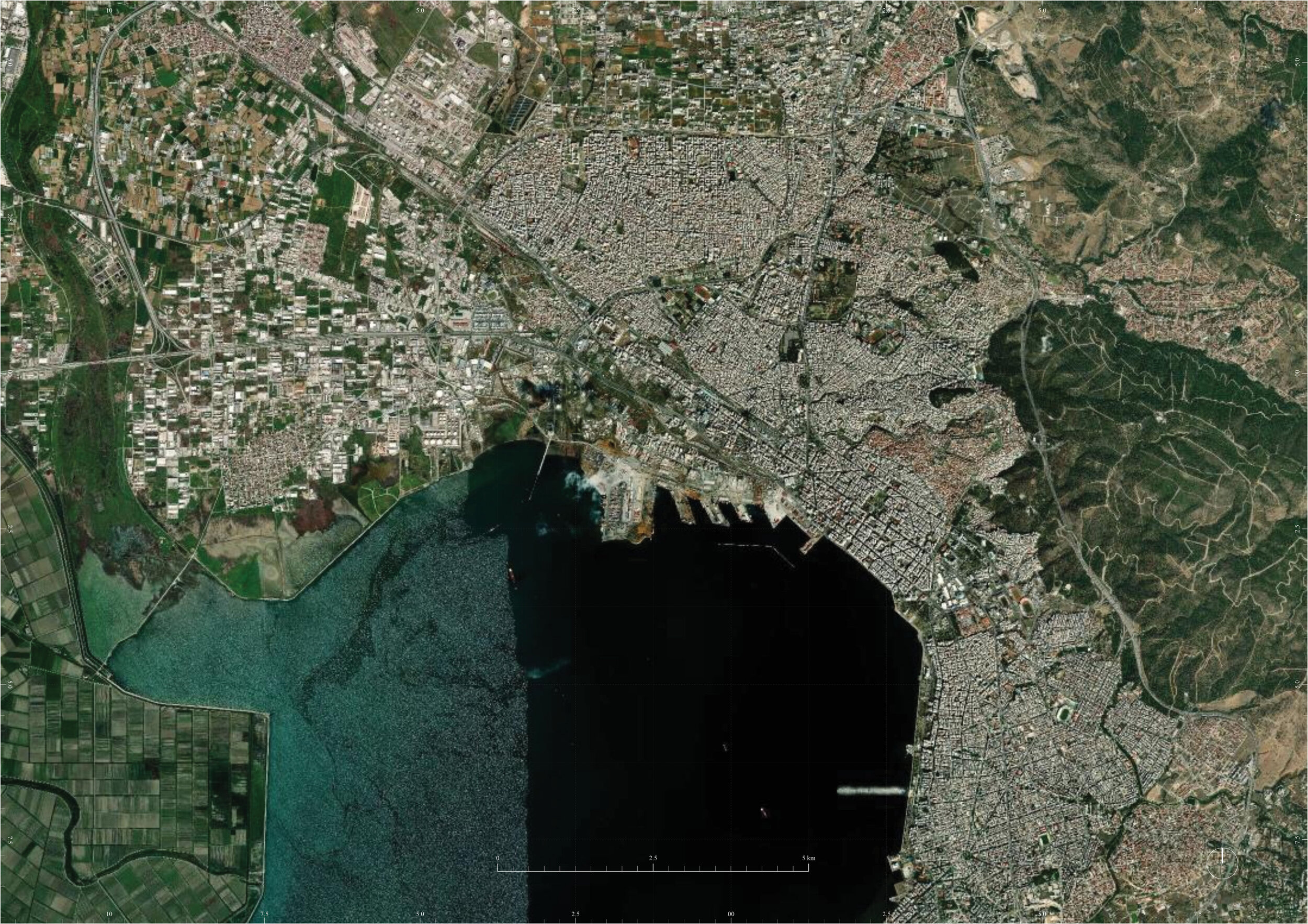
Satellite Imagery, Boundaries, Topography, Hydrology, Roads, Railways, Land Use, Imperviousness, Protected Sites
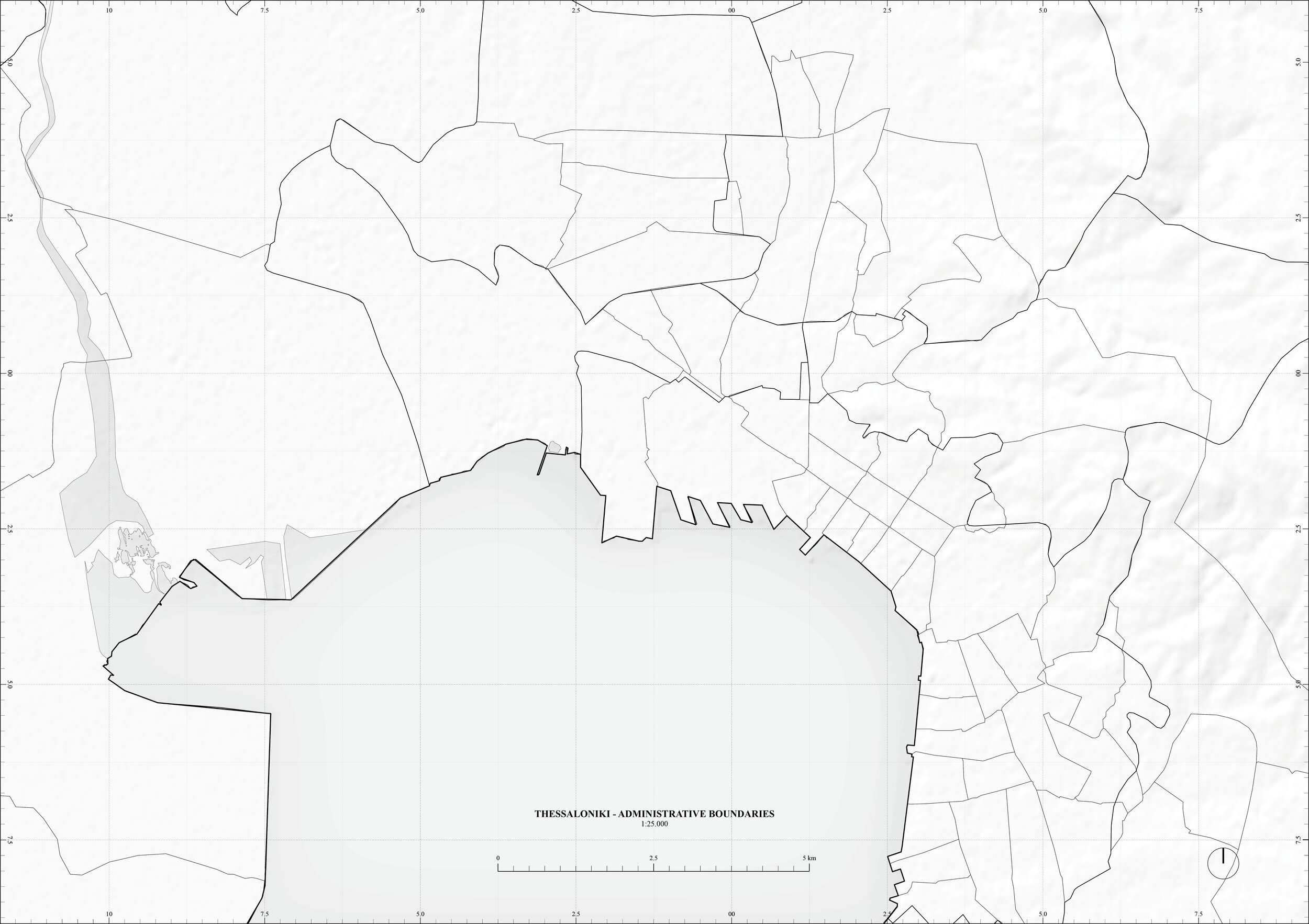
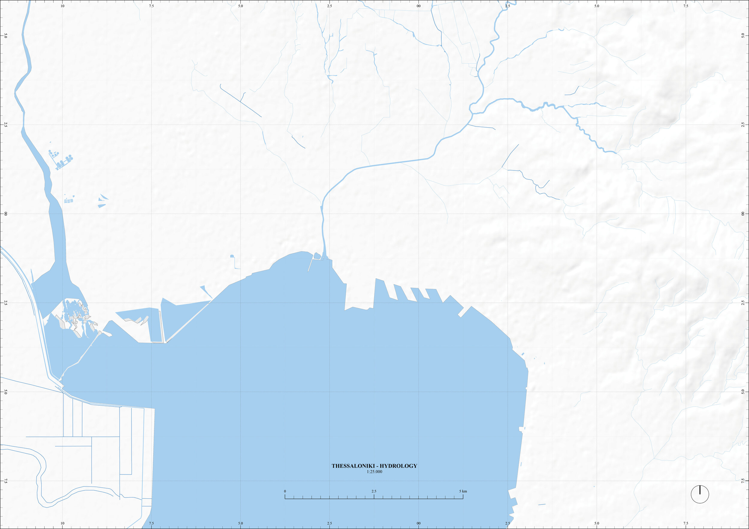
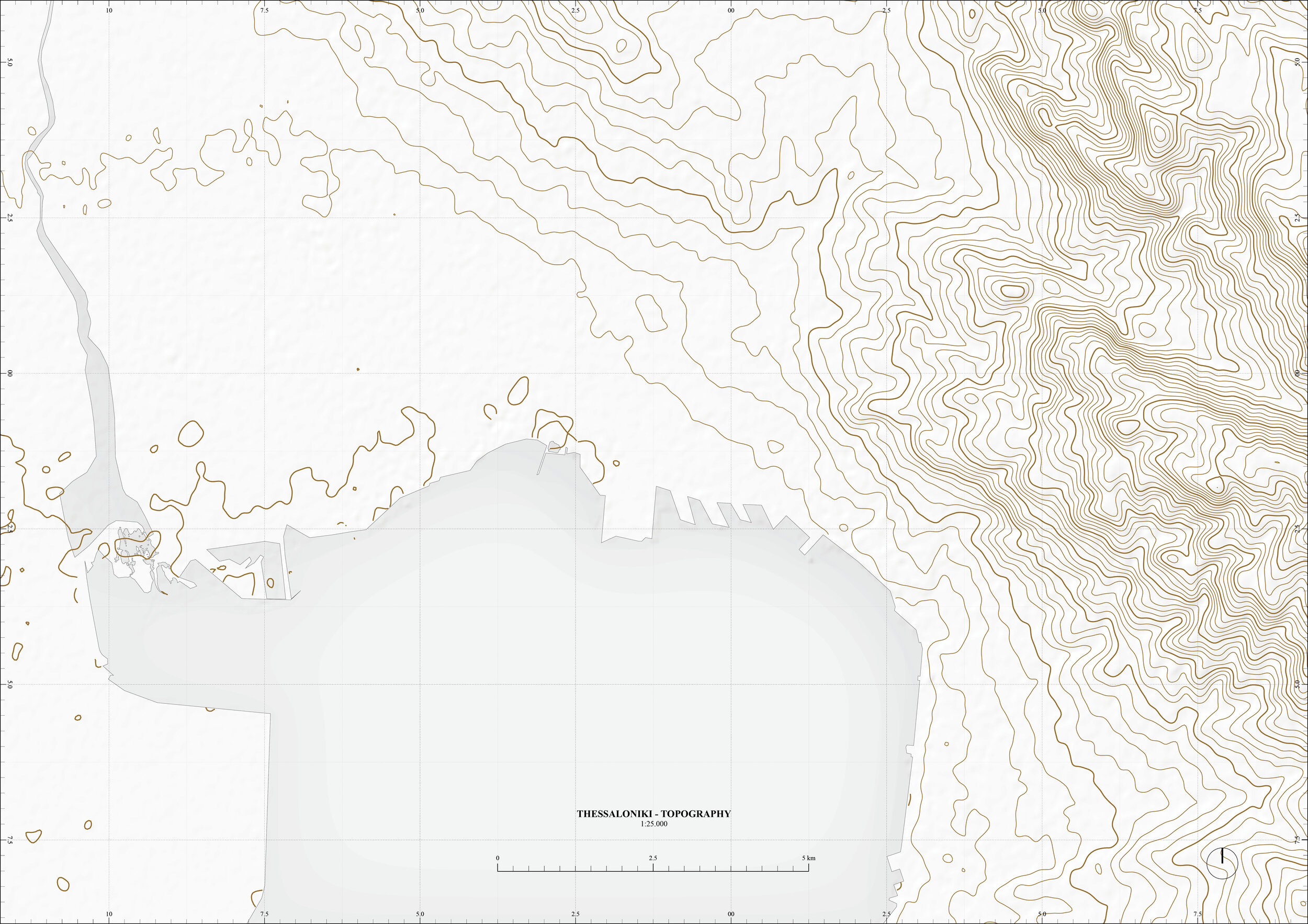
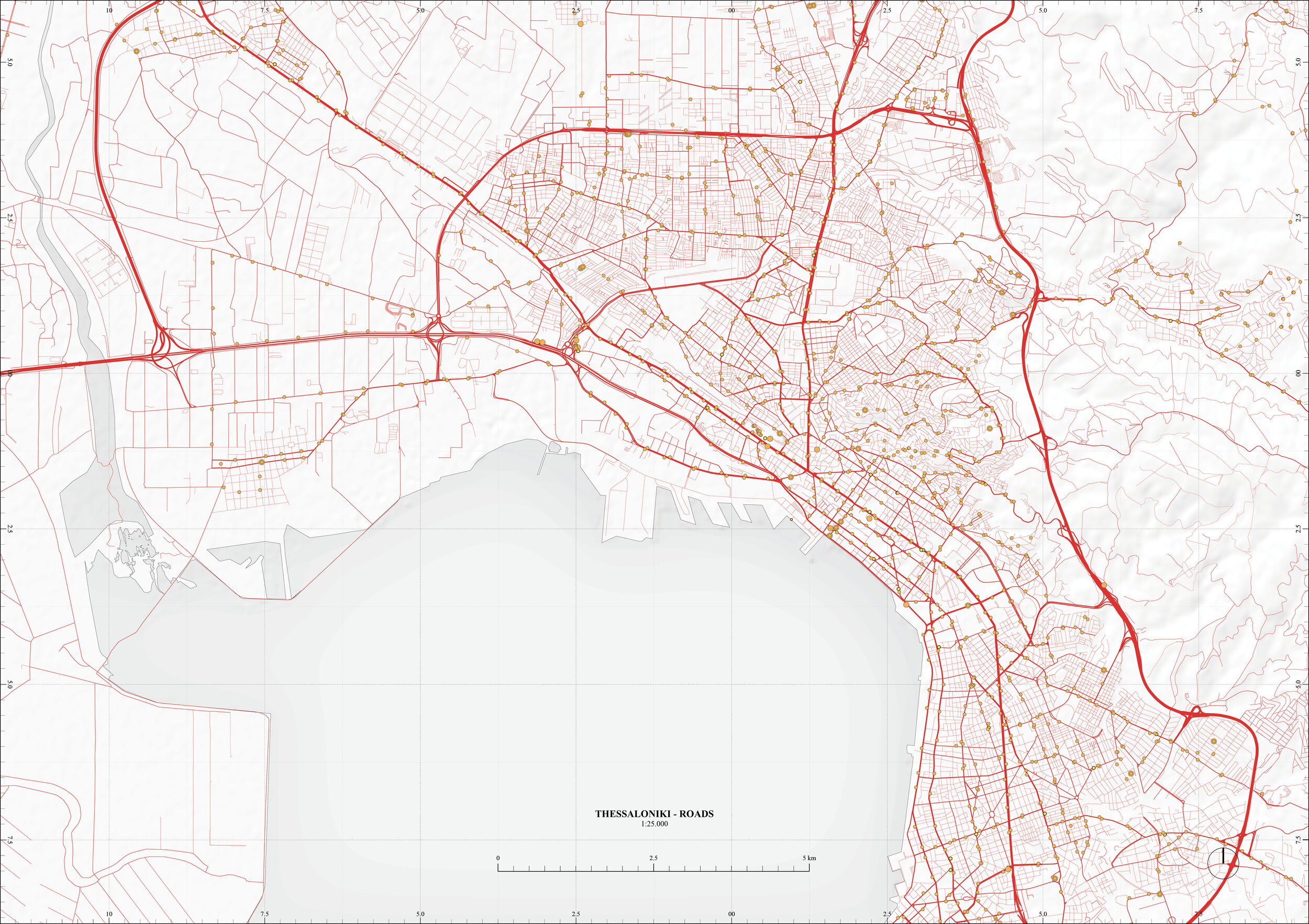
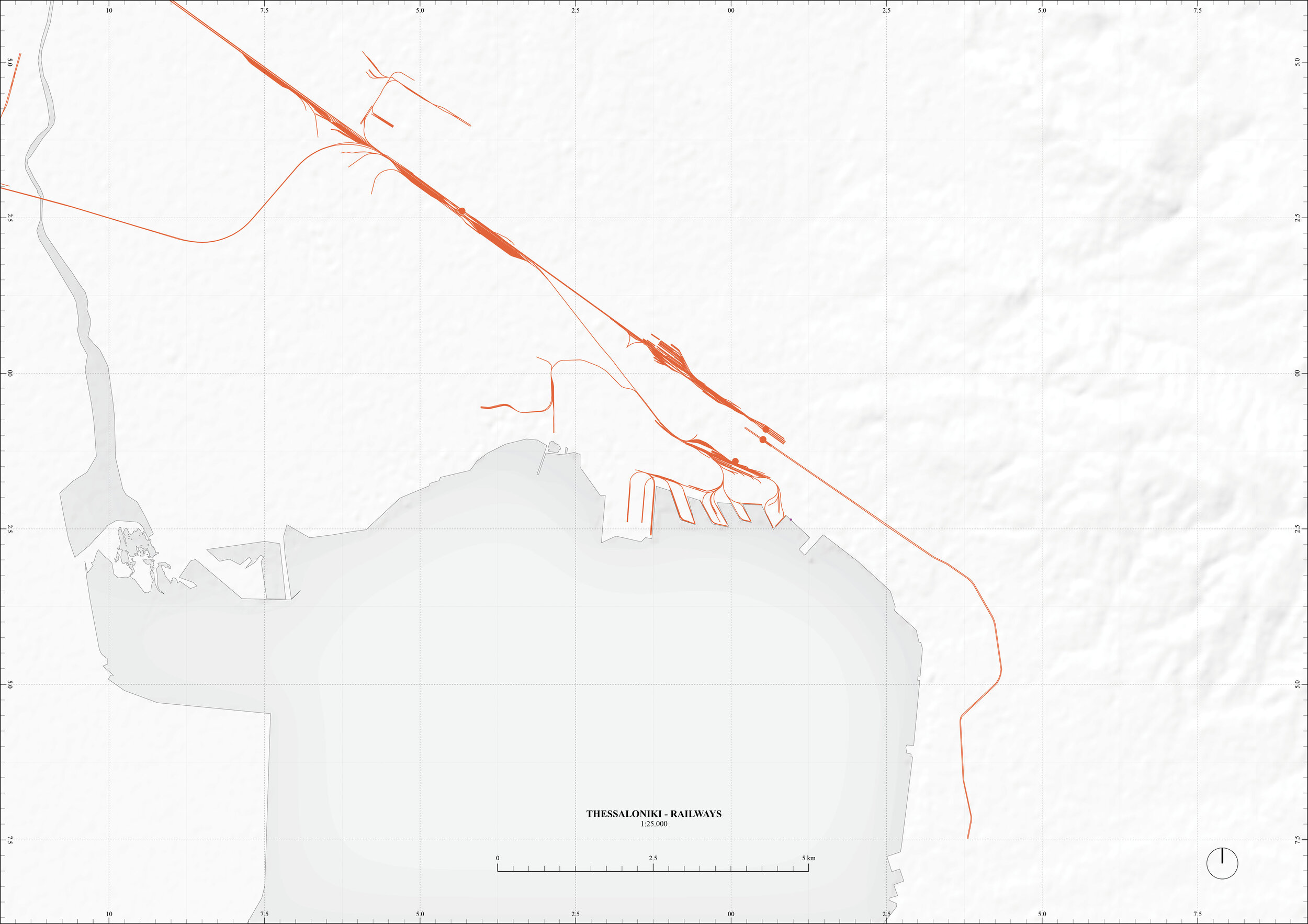
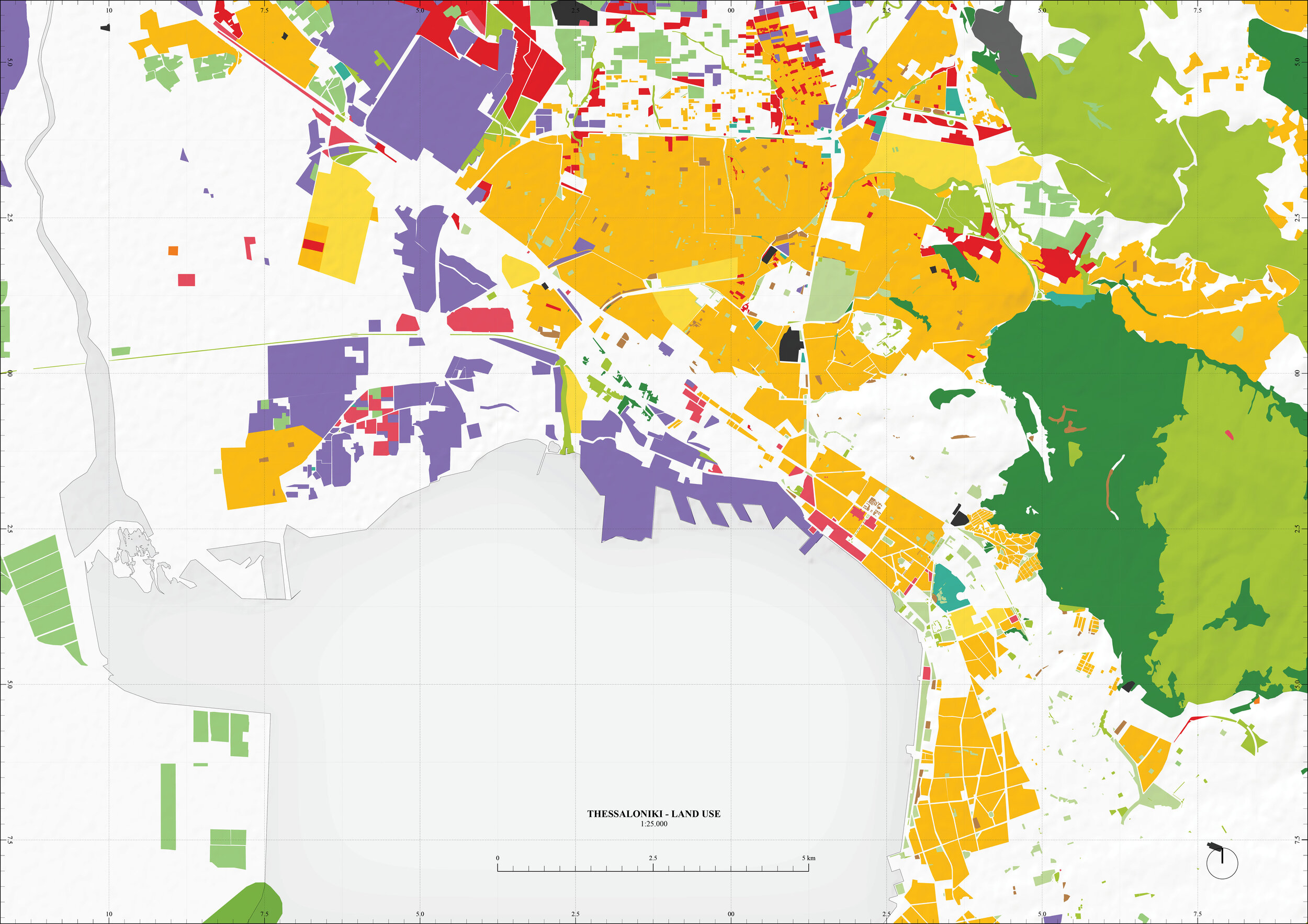
A0 Trim - 1:25.000
Satellite Imagery, Boundaries, Topography, Hydrology, Roads, Railways, Land Use
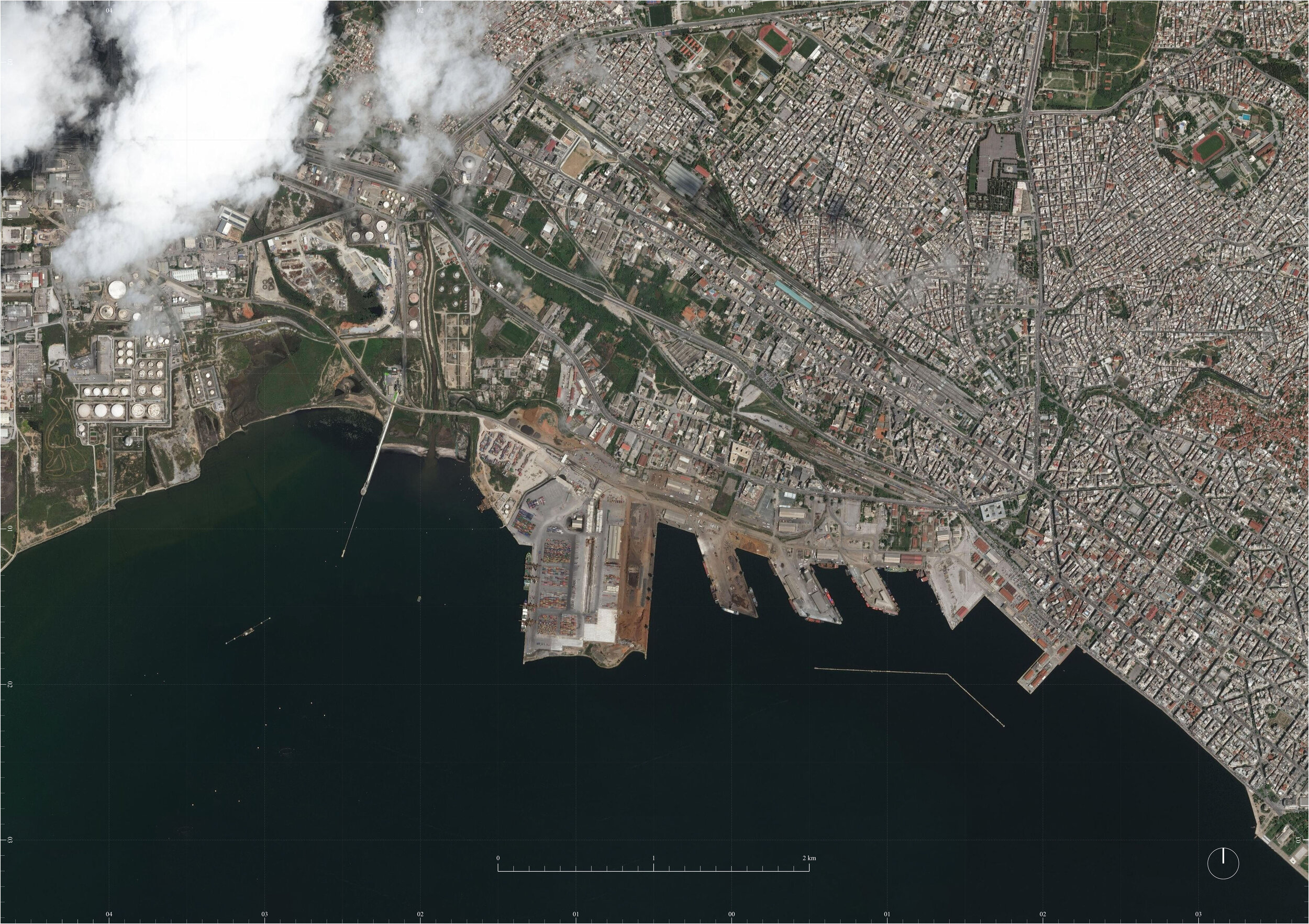
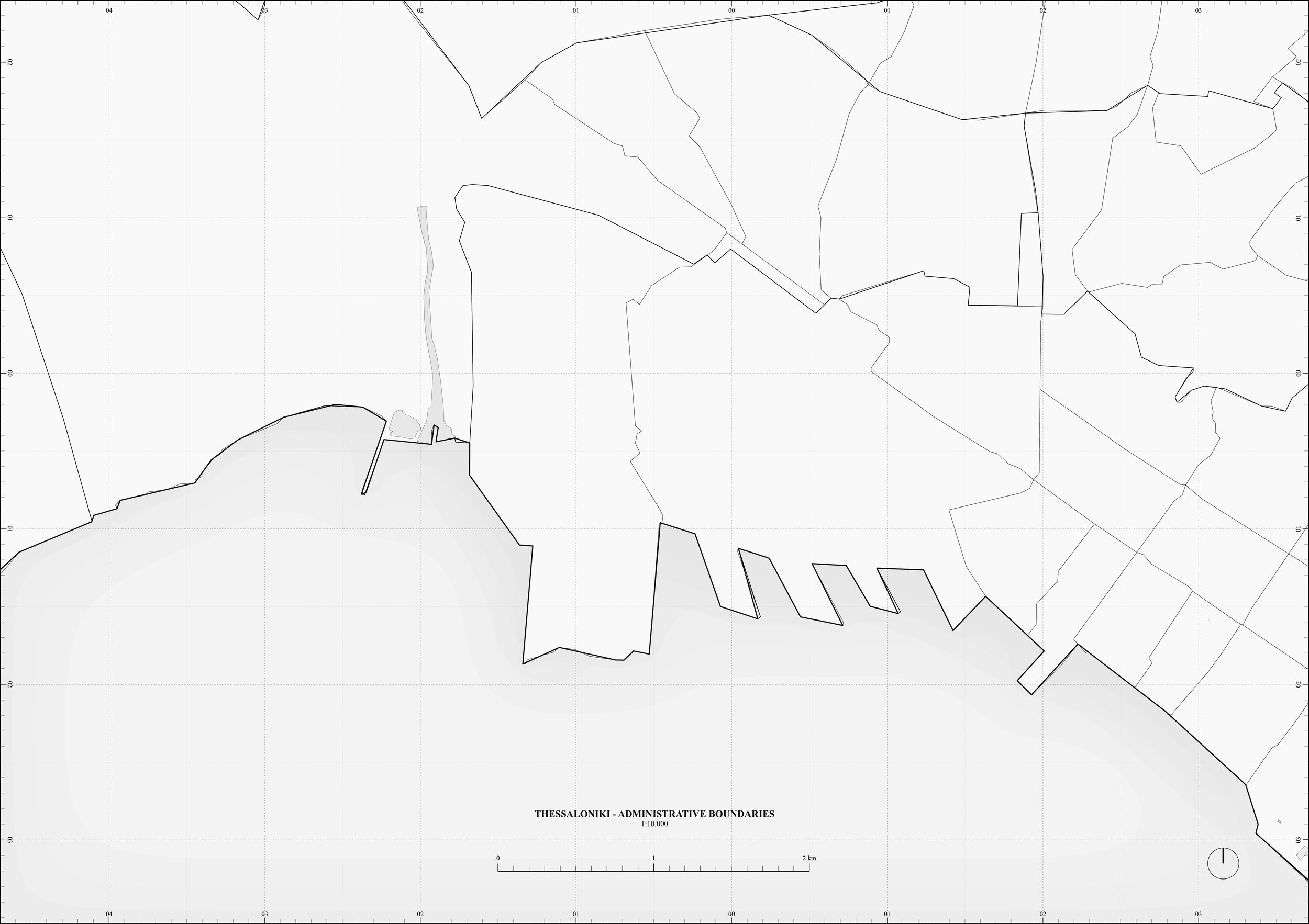
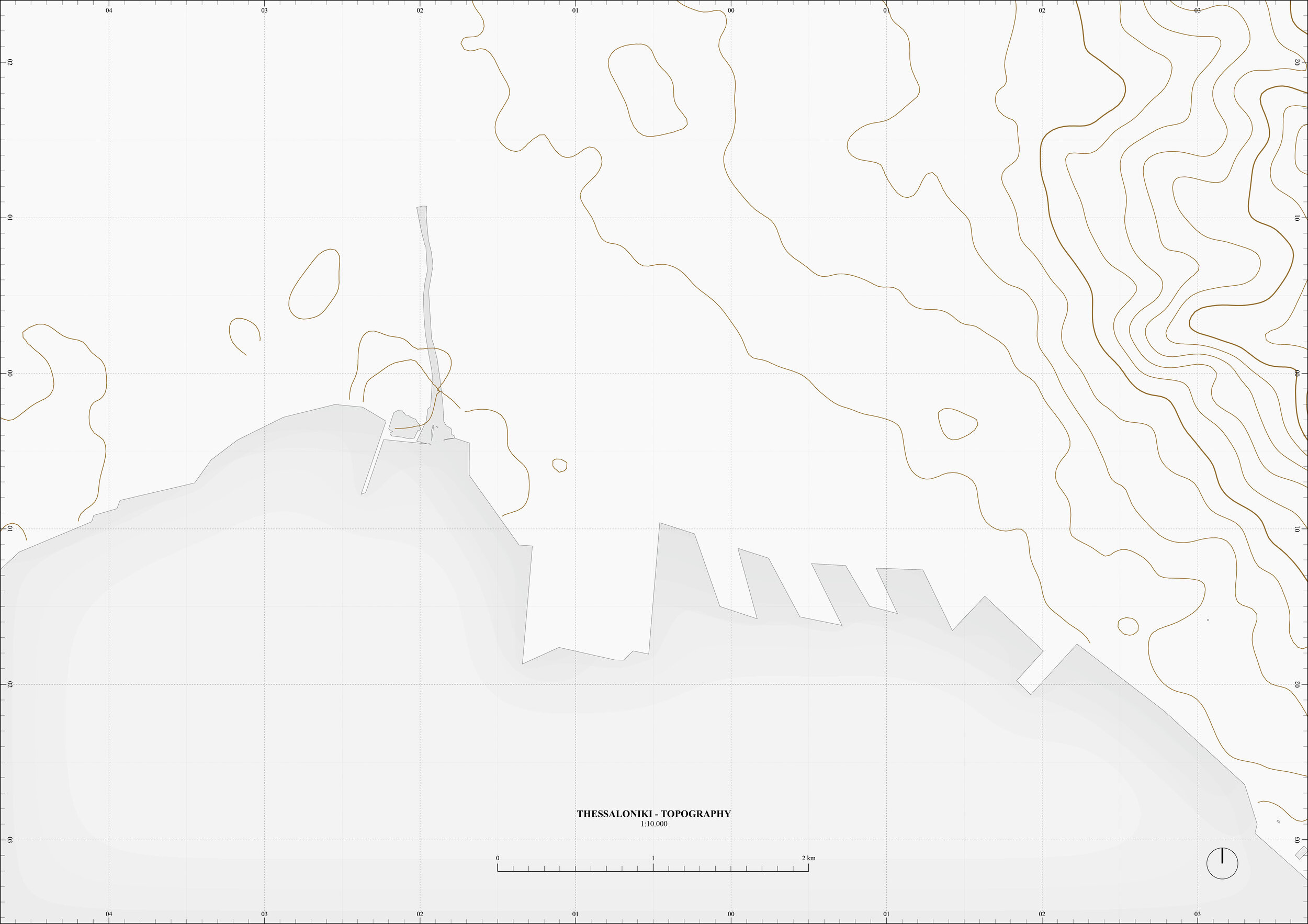
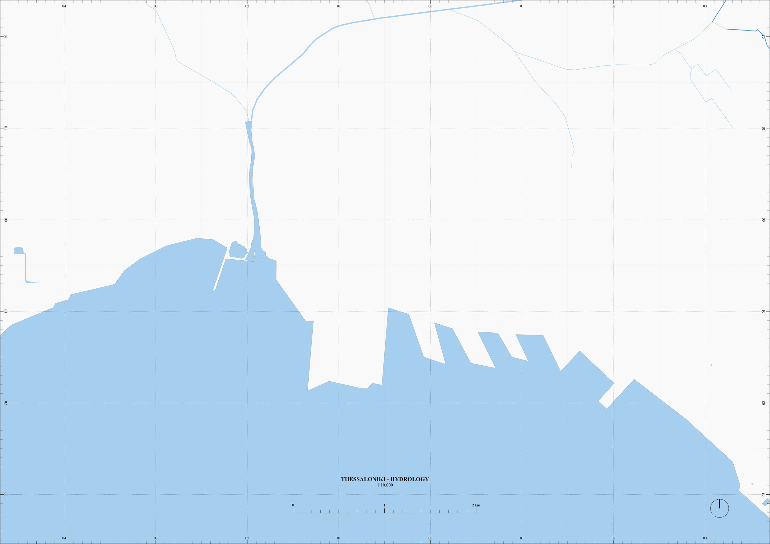
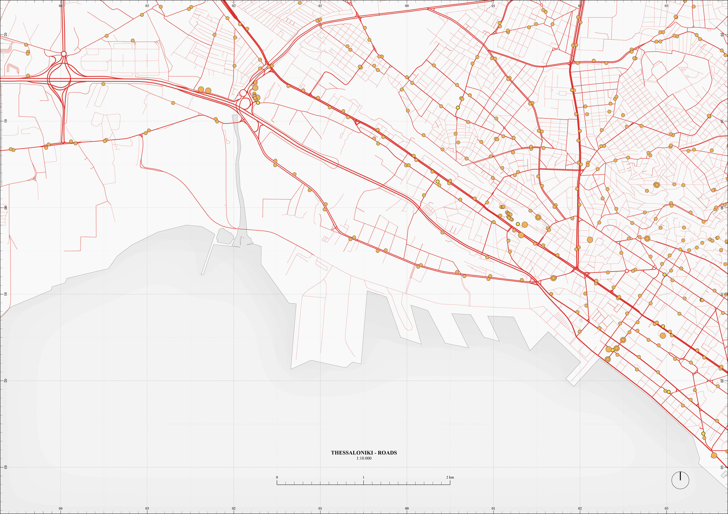
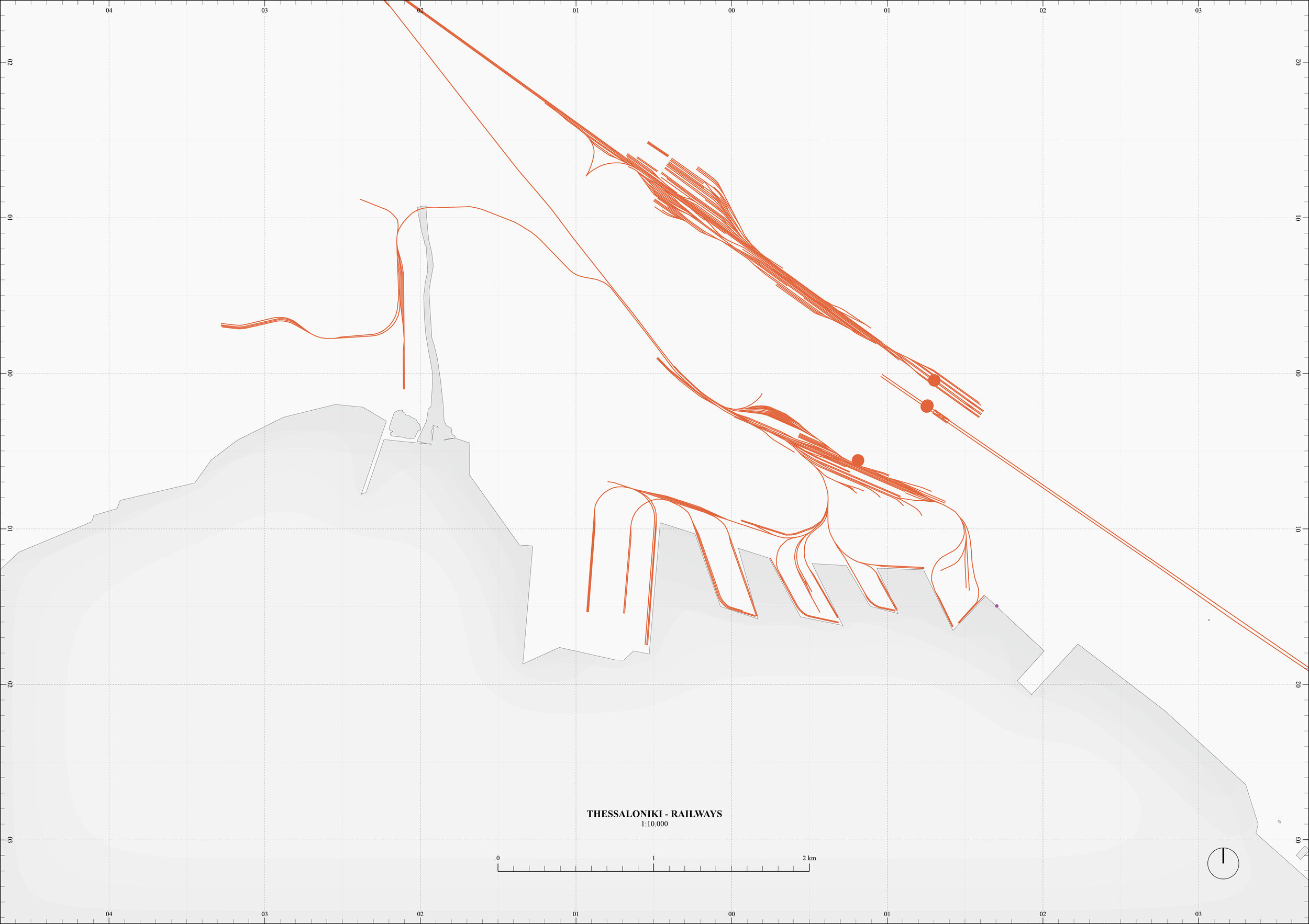
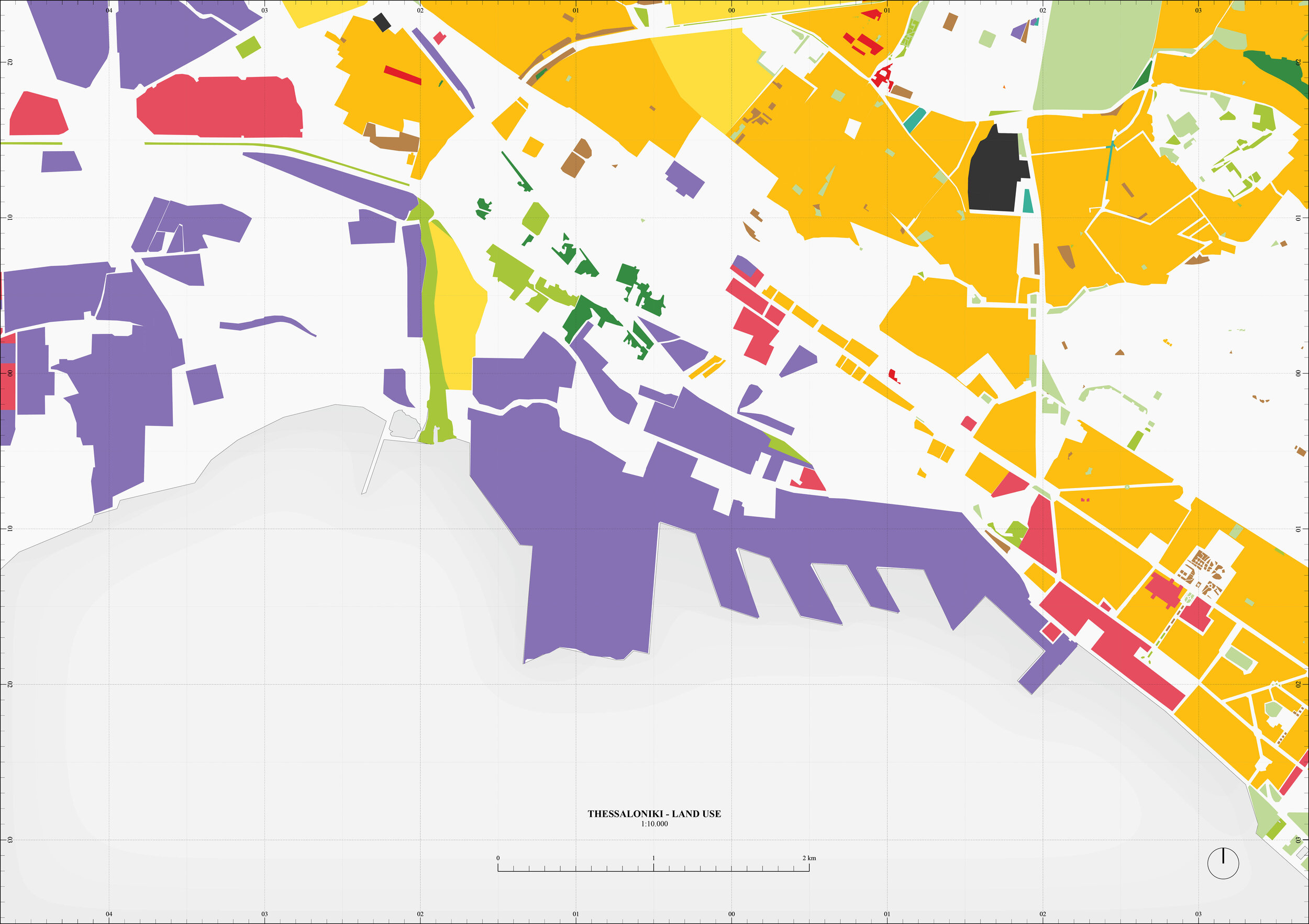
A0 Trim - 1:10.000
Satellite Imagery, Boundaries, Topography, Hydrology, Roads, Railways, Land Use